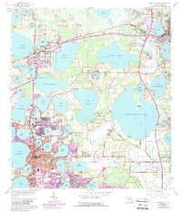
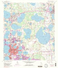
1959 Map of Winter Haven
USGS Topo · Published 1988About this map
Winter Haven and Haines City anchor this citrus-belt landscape during a period of significant urban expansion. The 1959 base topography, later updated with purple revisions, reveals a complex aquatic geography defined by the Seaboard Coast Line railroad and the numerous water bodies that shape local development. Education and research are central to the area's identity, evidenced by the Univ of Fla Exper Sta and schools like Jewett High Sch and Fruitland Sch.
Find a feature on this map
94 named features on this map. Tap any name to fly to it.
Don’t see what you’re looking for? This feature index may not catch every label — zoom into the map to look around manually.
Map Details
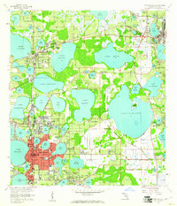
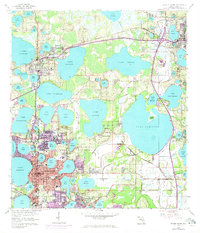
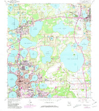
Editions of this 1959 Winter Haven Map
5 editions found
Other maps of this area

1944 · Polk City
USGS Topo · 1:31,680

1944 · Auburndale
USGS Topo · 1:31,680

1949 · Bartow
USGS Topo · 1:24,000

1950 · Bartow
USGS Topo · 1:24,000

1952 · Lake Wales
USGS Topo · 1:24,000

1953 · Dundee
USGS Topo · 1:24,000

1953 · Davenport
USGS Topo · 1:24,000

1955 · Eloise
USGS Topo · 1:24,000

1955 · Orlando
USGS Topo · 1:250,000

1956 · Fort Pierce
USGS Topo · 1:250,000