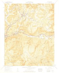
1957 Map of Wise
USGS Topo · Published 1959About this map
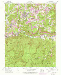
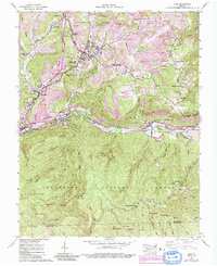
Wise and its surrounding coal-country settlements define this mid-century landscape, where the Guest River carves a deep valley through Guest Mountain. The map illustrates the industrial and institutional core of the region, featuring Glinch Valley College and the Wise County Memorial Hospital. Extensive Strip Mines dot the ridges north of the river, while the Norfolk and Western railroad tracks follow the river's winding course through Tacoma and Ramsey.
Find a feature on this map
82 named features on this map. Tap any name to fly to it.
Don’t see what you’re looking for? This feature index may not catch every label — zoom into the map to look around manually.
Map Details
Editions of this 1957 Wise Map
6 editions found
Other maps of this area

1886 · Grundy
USGS Topo · 1:125,000

1890 · Whitesburg
USGS Topo · 1:125,000

1890 · Grundy
USGS Topo · 1:125,000

1892 · Grundy
USGS Topo · 1:125,000

1892 · Whitesburg
USGS Topo · 1:125,000

1894 · Estillville
USGS Topo · 1:125,000

1897 · Bristol
USGS Topo · 1:125,000

1902 · Bristol
USGS Topo · 1:125,000

1912 · Pound
USGS Topo · 1:48,000

1913 · Clintwood
USGS Topo · 1:62,500