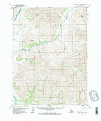
1971 Map of Wiseman C-2
USGS Topo · Published 1973About this map
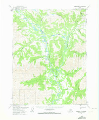
The North Fork Koyukuk River and the Clear River dominate this interior Alaskan landscape, which remained largely devoid of roads or trails during this 1970s survey. Significant vertical relief is marked by prominent peaks such as Redstar Mountain, Moving Mountain, and the distinctive Chimney Mountain. The drainage pattern is complex, with named tributaries like Redstar Creek, Jumbo Creek, and Bonanza Creek carving through the high country.
Find a feature on this map
14 named features on this map. Tap any name to fly to it.
Don’t see what you’re looking for? This feature index may not catch every label — zoom into the map to look around manually.
Map Details
Editions of this 1971 Wiseman C-2 Map
2 editions found
Other maps of this area

1951 · Wiseman
USGS Topo · 1:250,000

1956 · Wiseman
USGS Topo · 1:250,000

1964 · Wiseman
USGS Topo · 1:250,000

1971 · Wiseman C-2
USGS Topo · 1:63,360
1971 · Wiseman C-1
USGS Topo · 1:63,360
1971 · Wiseman B-3
USGS Topo · 1:63,360
1971 · Wiseman B-1
USGS Topo · 1:63,360
1971 · Wiseman B-2
USGS Topo · 1:63,360
1971 · Wiseman D-2
USGS Topo · 1:63,360
1971 · Wiseman D-3
USGS Topo · 1:63,360