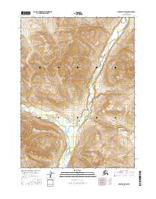
2016 Map of Wiseman D-5 SW
USGS Topo · Published 2016About this map
Gates of the Arctic National Park encompasses this entire sub-section of the Brooks Range, dominated by the braided valley of the John River. Flowing south through the center of the sheet, the river is joined by the Hunt Fork John River from the west, creating a significant drainage confluence at the base of steep topographic slopes. The landscape is defined by its extreme elevation changes, rising from the riverbeds to peaks like Cairn Mtn in the northwest. In the southeast corner, the tributary Mashooshalluk Cr drains the high country near the boundary of t34n r21w, illustrating the remote and inaccessible character of the Yukon-Koyukuk region. This 2016 survey documents the untouched hydrography and terrain of the Alaskan interior within one of the nation's most wilderness-focused preserves.
Find a feature on this map
9 named features on this map. Tap any name to fly to it.
Don’t see what you’re looking for? This feature index may not catch every label — zoom into the map to look around manually.
Map Details
Editions of this 2016 Wiseman D-5 SW Map
This is the sole edition of this map. No revisions or reprints were ever made.
Other maps of this area

1951 · Wiseman
USGS Topo · 1:250,000

1956 · Wiseman
USGS Topo · 1:250,000

1964 · Wiseman
USGS Topo · 1:250,000

1971 · Wiseman C-5
USGS Topo · 1:63,360
1971 · Wiseman D-5
USGS Topo · 1:63,360
1986 · Wiseman C-6
USGS Topo · 1:63,360
1986 · Wiseman D-6
USGS Topo · 1:63,360
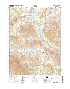
2016 · Wiseman D-6 SE
USGS Topo · 1:25,000
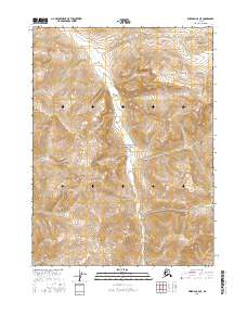
2016 · Wiseman C-5 NE
USGS Topo · 1:25,000
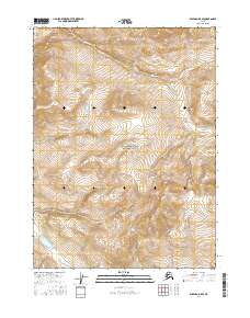
2016 · Wiseman D-5 SE
USGS Topo · 1:25,000