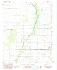
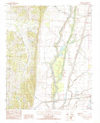
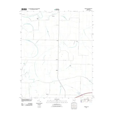
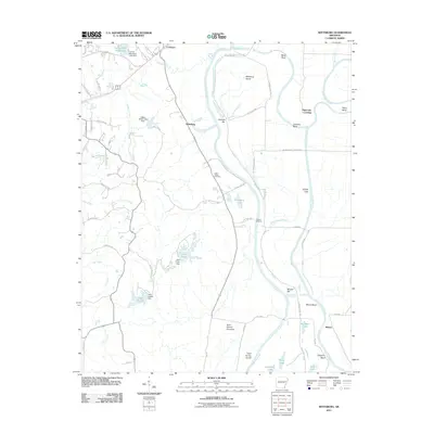
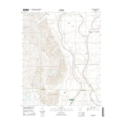
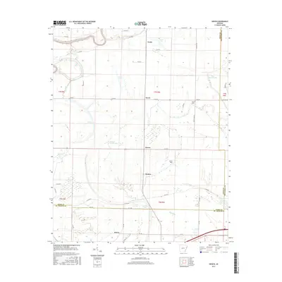
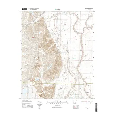
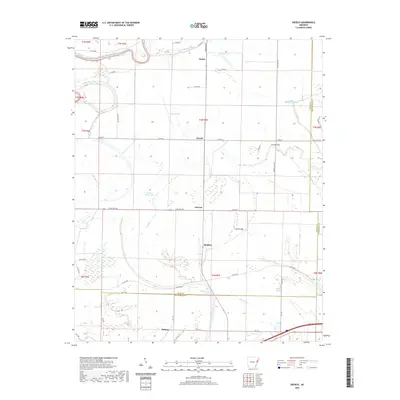
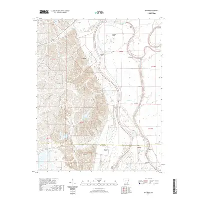
1984 Map of Wittsburg
USGS Topo · Published 1993About this map
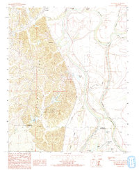
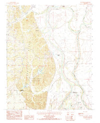
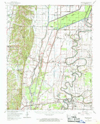
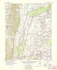
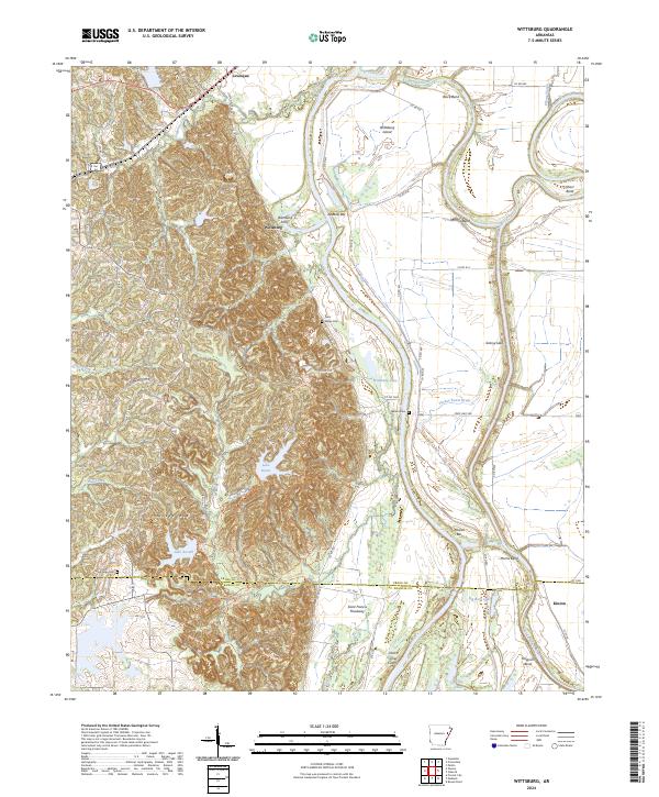
Crowleys Ridge dominates the western half of this landscape, its elevated topography creating a sharp contrast with the alluvial lowlands of the St Francis River to the east. The ridge provides a natural anchor for Village Creek State Park, which encompasses recreational waters like Lake Dunn and Lake Austell. This 1984 survey, revised in 1992, documents the transition from the upland forests of the ridge to the engineered water management systems of the delta, including the massive St Francis Floodway and the Grassy Lake Cutoff.
Find a feature on this map
31 named features on this map. Tap any name to fly to it.
Don’t see what you’re looking for? This feature index may not catch every label — zoom into the map to look around manually.
Map Details
Editions of this 1984 Wittsburg Map
2 editions found
Historical Maps of Wittsburg Through Time
52 maps found
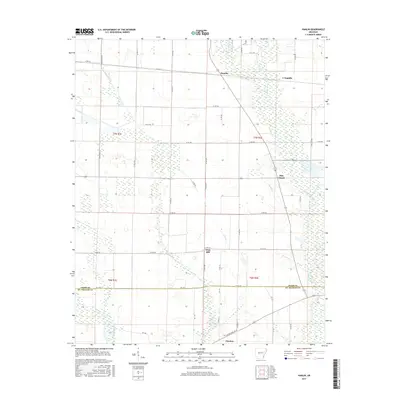
1940 Princedale
Cross County, AR
1956 Princedale
Cross County, AR
1962 Princedale
Cross County, AR
1966 Princedale
Cross County, AR
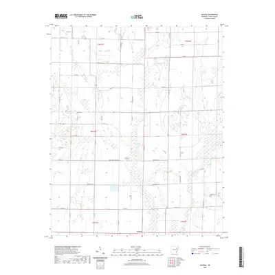
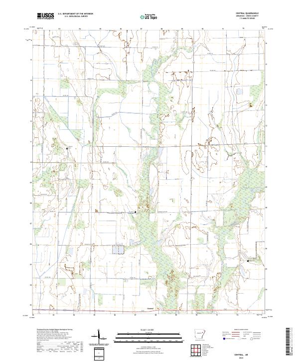
1984 Central
Cross County, AR
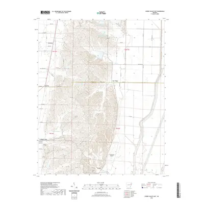
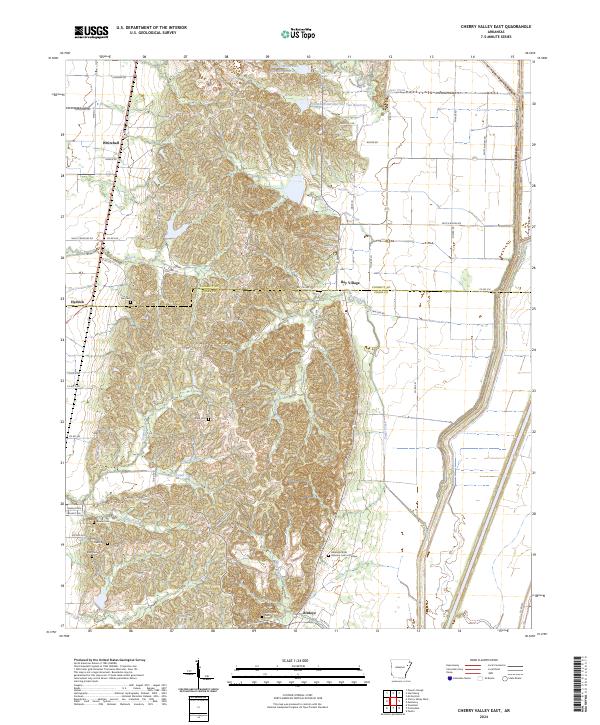
1984 Cherry Valley East
Cross County, AR
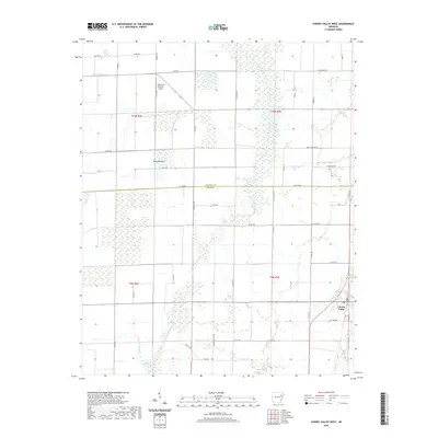
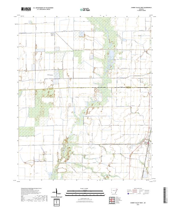
1984 Cherry Valley West
Cross County, AR
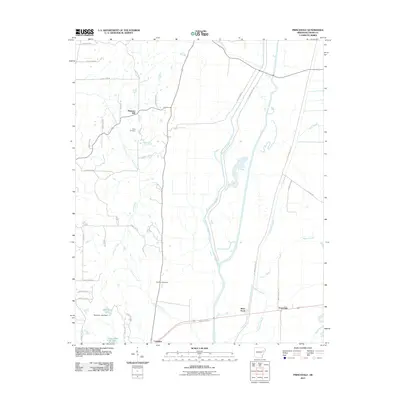
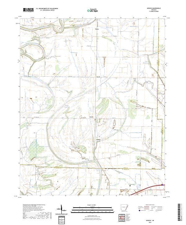
1984 Gieseck
Cross County, AR
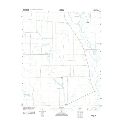
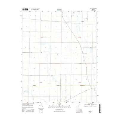
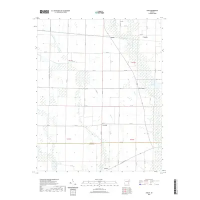
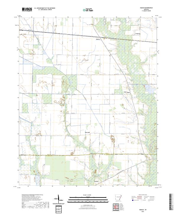
1984 Hamlin
Cross County, AR
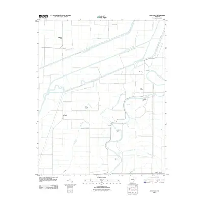
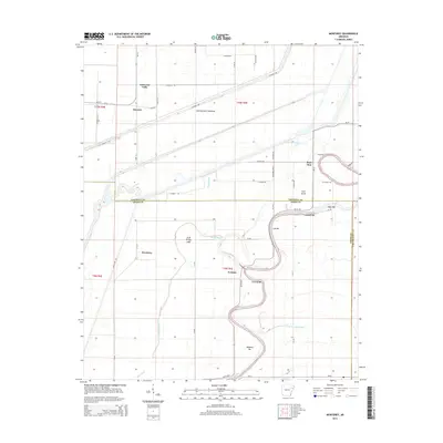
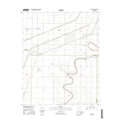
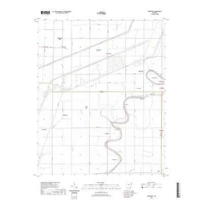
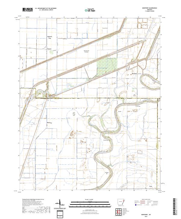
1984 Monterey
Cross County, AR
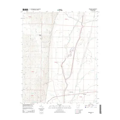
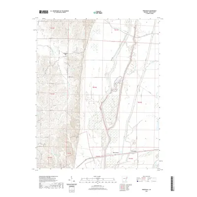
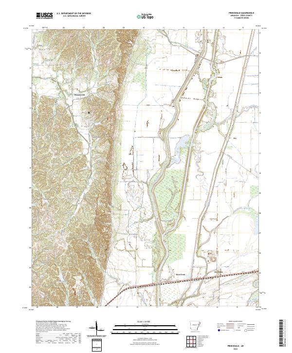
1984 Princedale
Cross County, AR
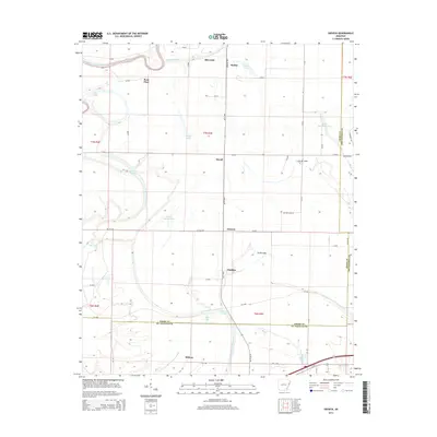
1984 Wittsburg
Cross County, AR
2011 Central
Cross County, AR
2011 Cherry Valley East
Cross County, AR
2011 Cherry Valley West
Cross County, AR
2011 Gieseck
Cross County, AR
2011 Hamlin
Cross County, AR
2011 Monterey
Cross County, AR
2011 Princedale
Cross County, AR
2011 Wittsburg
Cross County, AR
2014 Central
Cross County, AR
2014 Cherry Valley East
Cross County, AR
2014 Cherry Valley West
Cross County, AR
2014 Gieseck
Cross County, AR
2014 Hamlin
Cross County, AR
2014 Monterey
Cross County, AR
2014 Princedale
Cross County, AR
2014 Wittsburg
Cross County, AR
2017 Central
Cross County, AR
2017 Cherry Valley East
Cross County, AR
2017 Cherry Valley West
Cross County, AR
2017 Gieseck
Cross County, AR
2017 Hamlin
Cross County, AR
2017 Monterey
Cross County, AR
2017 Princedale
Cross County, AR
2017 Wittsburg
Cross County, AR
2020 Central
Cross County, AR
2020 Cherry Valley East
Cross County, AR
2020 Cherry Valley West
Cross County, AR
2020 Gieseck
Cross County, AR
2020 Hamlin
Cross County, AR
2020 Monterey
Cross County, AR
2020 Princedale
Cross County, AR
2020 Wittsburg
Cross County, AR
2024 Central
Cross County, AR
2024 Cherry Valley East
Cross County, AR
2024 Cherry Valley West
Cross County, AR
2024 Gieseck
Cross County, AR
2024 Hamlin
Cross County, AR
2024 Monterey
Cross County, AR
2024 Princedale
Cross County, AR
2024 Wittsburg
Cross County, AR