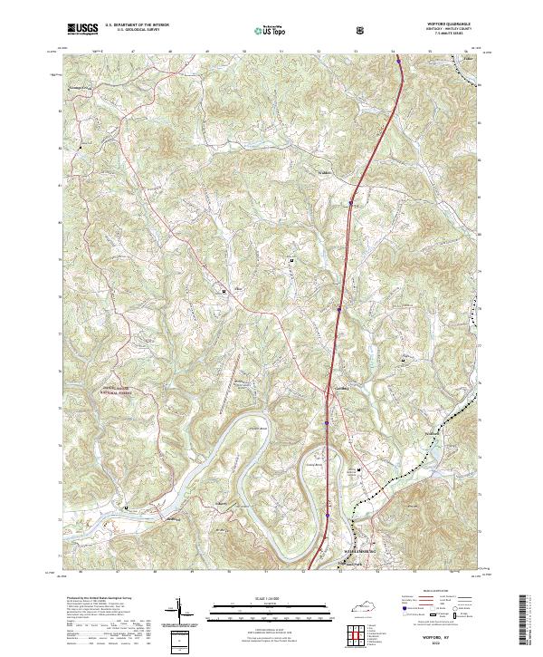
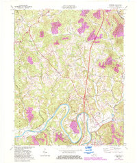
2022 Map of Wofford
USGS Topo · Published 2022About this map
The Cumberland River carves deep, winding oxbows through this portion of Whitley County, creating distinctive landforms such as Prewitt Bend and Croley Bend. North of Williamsburg, the terrain transitions into the protected wooded hills of the Daniel Boone National Forest. The landscape is a network of ridge-top roads and creek-valley settlements, where small communities like Goldbug, Clio, and Wofford are connected by historical routes like the Old Corbin Pike Rd.
Find a feature on this map
122 named features on this map. Tap any name to fly to it.
Don’t see what you’re looking for? This feature index may not catch every label — zoom into the map to look around manually.
Map Details
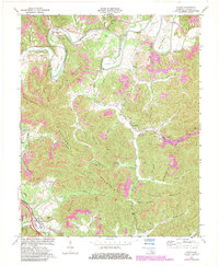
Editions of this 2022 Wofford Map
This is the sole edition of this map. No revisions or reprints were ever made.
Historical Maps of Faber Through Time
14 maps found
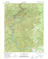
1952 Cumberland Falls
Whitley County, KY
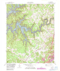
1952 Frakes
Whitley County, KY
1952 Saxton
Whitley County, KY
1952 Vox
Whitley County, KY
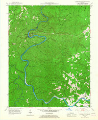
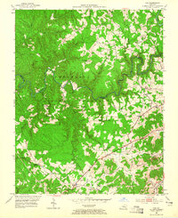
1952 Wofford
Whitley County, KY
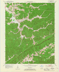
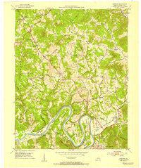
1969 Wofford
Whitley County, KY
1970 Saxton
Whitley County, KY
1979 Cumberland Falls
Whitley County, KY
1979 Vox
Whitley County, KY
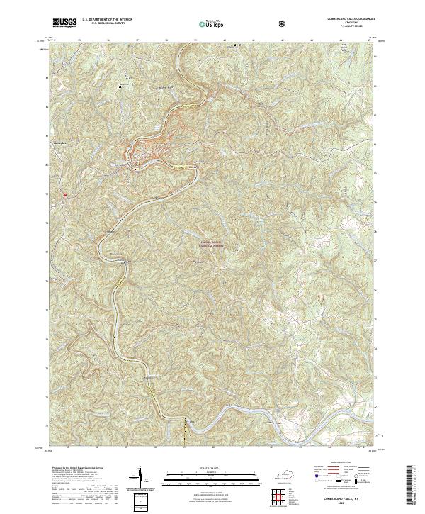
2022 Cumberland Falls
Whitley County, KY
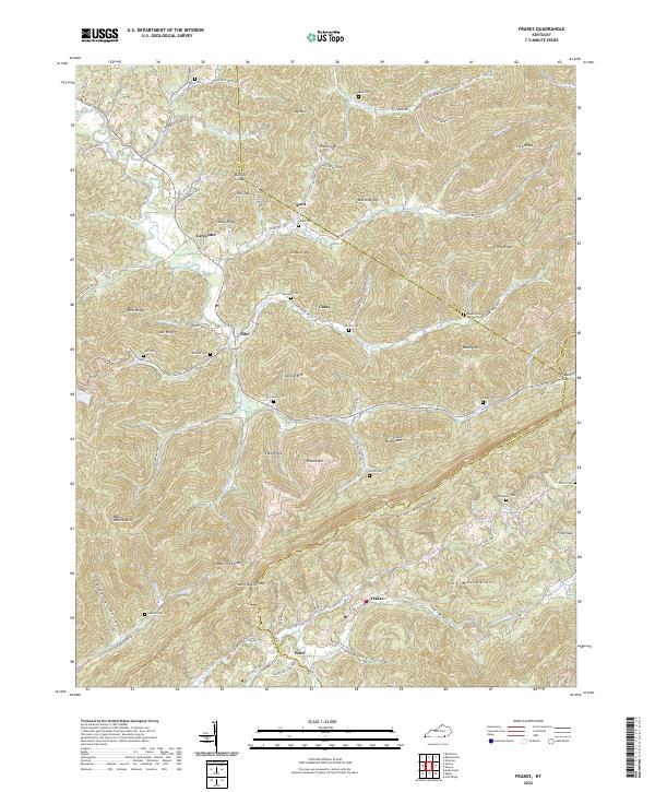
2022 Frakes
Whitley County, KY
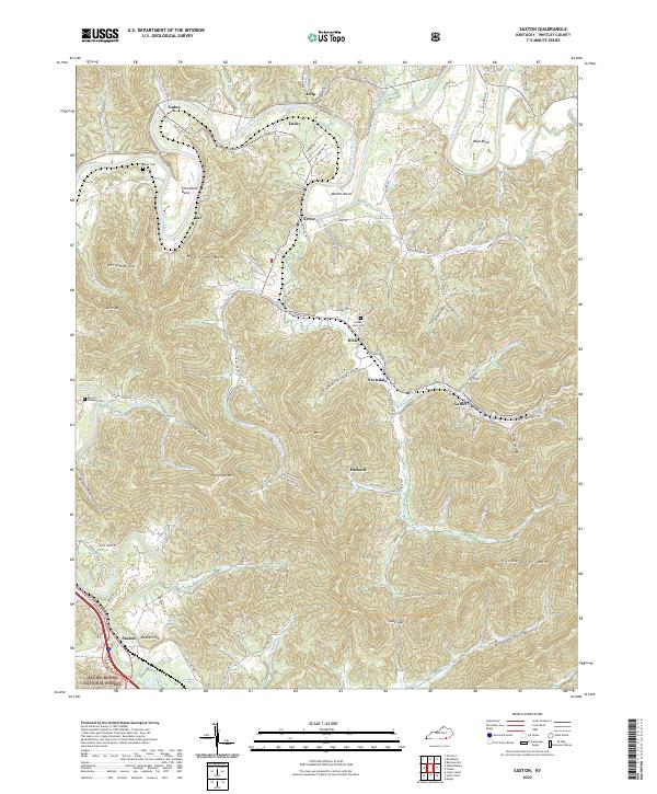
2022 Saxton
Whitley County, KY
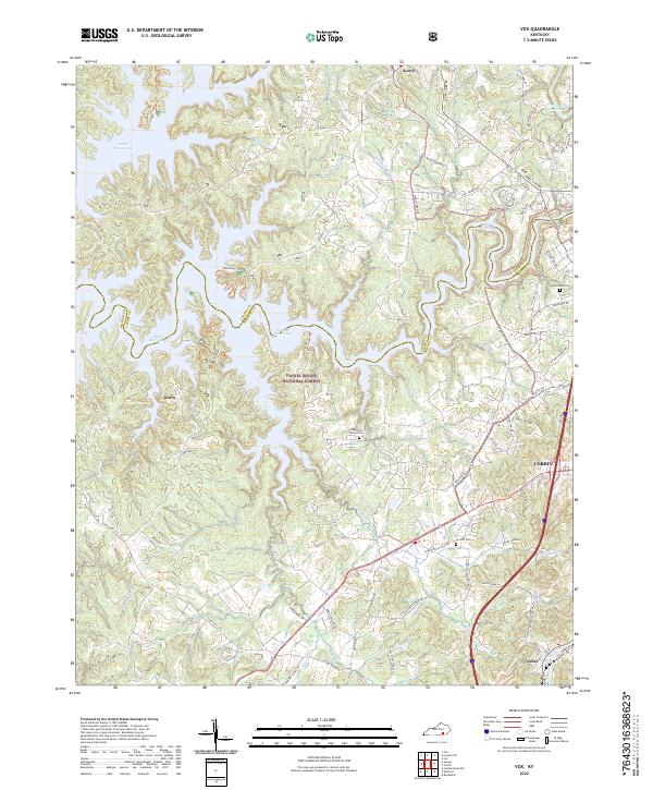
2022 Vox
Whitley County, KY
2022 Wofford
Whitley County, KY