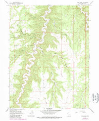
1966 Map of Wolf Point
USGS Topo · Published 1987About this map
Winter Ridge dominates the central landscape of this canyon-dissected portion of the Uintah and Ouray Indian Reservation. The drainage of Willow Creek carves a deep path through the terrain, flanked by significant geographical features like Main Bottom and Lower Bottom. This 1966 topography, updated in the late 1980s, captures a remote environment where human infrastructure is sparse but notable, including a Landing Strip and a Gaging Station situated near the confluence of several canyons.
Find a feature on this map
19 named features on this map. Tap any name to fly to it.
Don’t see what you’re looking for? This feature index may not catch every label — zoom into the map to look around manually.
Map Details
Editions of this 1966 Wolf Point Map
2 editions found
Other maps of this area

1885 · East Tavaputs
USGS Topo · 1:250,000

1956 · Grand Junction
USGS Topo · 1:250,000

1959 · Grand Junction
USGS Topo · 1:250,000

1960 · Grand Junction
USGS Topo · 1:250,000

1962 · Grand Junction
USGS Topo · 1:250,000

1963 · Tenmile Canyon
USGS Topo · 1:62,500

1964 · Grand Junction
USGS Topo · 1:250,000

1965 · Grand Junction
USGS Topo · 1:250,000

1966 · Bates Knolls
USGS Topo · 1:24,000
1966 · Agency Draw NE
USGS Topo · 1:24,000