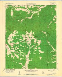
1959 Map of Womack
USGS Topo · Published 1960About this map
Clark National Forest encompasses a significant portion of this Missouri landscape, where the headwaters of the Whitewater River and Castor River emerge from the dense hills. The small settlement of Womack serves as a central point in an area defined by rural community hubs and rugged topography. Local life is anchored by institutions like the Silver Point Ch, Unity Sch, and Crossroads Ch, which provided essential services to families living along the creek bottoms of Saline Creek and Greasy Creek. Evidence of early state infrastructure is visible through the Whitewater Lookout Tower and Higdon Lookout Tower, along with a Radio Range Station used for aviation navigation. Several county lines, including those for Ste Genevieve, St Francois, and Perry counties, intersect in this territory, marking it as a borderland between agricultural basins and the timbered uplands.
Find a feature on this map
29 named features on this map. Tap any name to fly to it.
Don’t see what you’re looking for? This feature index may not catch every label — zoom into the map to look around manually.
Map Details
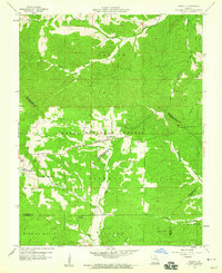
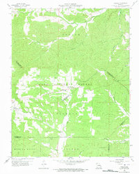
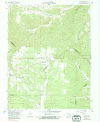
Editions of this 1959 Womack Map
4 editions found
Other maps of this area

1904 · Farmington
USGS Topo · 1:62,500

1906 · Farmington
USGS Topo · 1:62,500

1907 · Weingarten
USGS Topo · 1:62,500

1909 · Weingarten
USGS Topo · 1:62,500

1910 · Higdon
USGS Topo · 1:62,500

1939 · Fredericktown
USGS Topo · 1:48,000

1947 · Fredericktown
USGS Topo · 1:62,500

1949 · Rolla
USGS Topo · 1:250,000

1950 · Fredericktown
USGS Topo · 1:62,500

1953 · Rolla
USGS Topo · 1:250,000