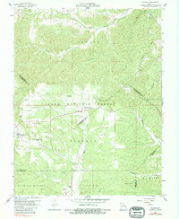
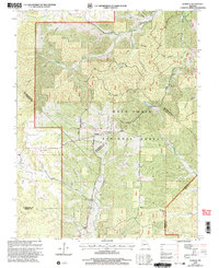
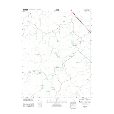
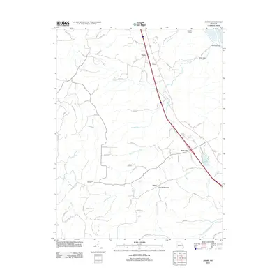
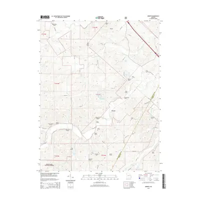
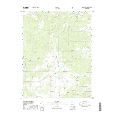
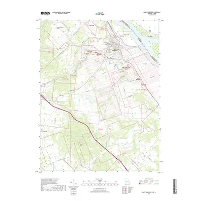
1959 Map of Womack
USGS Topo · Published 1983About this map
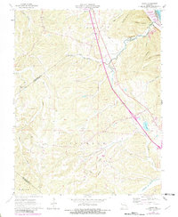
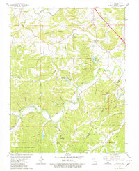
The Castor River and Whitewater River valleys define the rugged geography of this 1959 survey, situated at the crossroads of Ste. Genevieve, St. Francois, Madison, and Perry counties. Much of the area is occupied by the Clark National Forest, where high points are marked by the Whitewater Lookout Tower and Higdon Lookout Tower. The settlement of Womack serves as a central point for the surrounding rural communities, which are anchored by local institutions like Silver Point Ch and Unity Sch.
Find a feature on this map
31 named features on this map. Tap any name to fly to it.
Don’t see what you’re looking for? This feature index may not catch every label — zoom into the map to look around manually.
Map Details
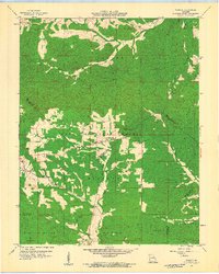
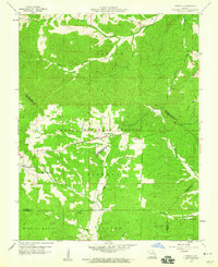
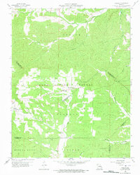
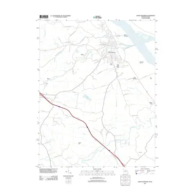
Editions of this 1959 Womack Map
4 editions found
Historical Maps of Womack Through Time
39 maps found
1959 Womack
Ste. Genevieve County, MO
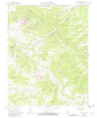
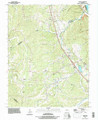
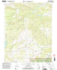
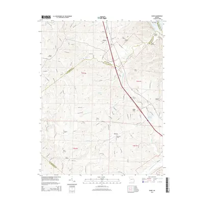
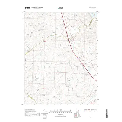
1964 Danby
Ste. Genevieve County, MO
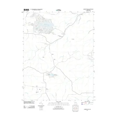
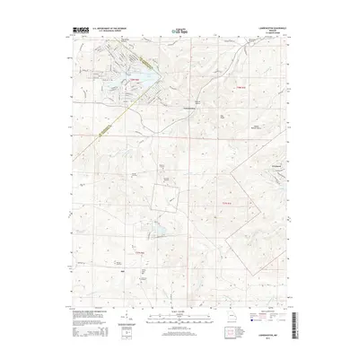
1964 Lawrenceton
Ste. Genevieve County, MO
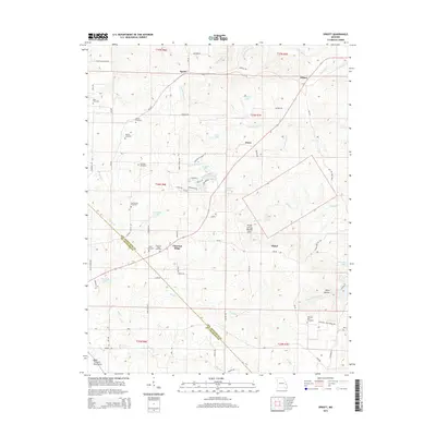
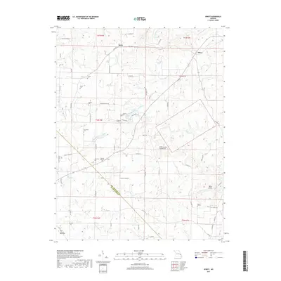
1964 Sprott
Ste. Genevieve County, MO
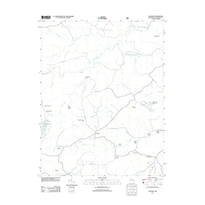
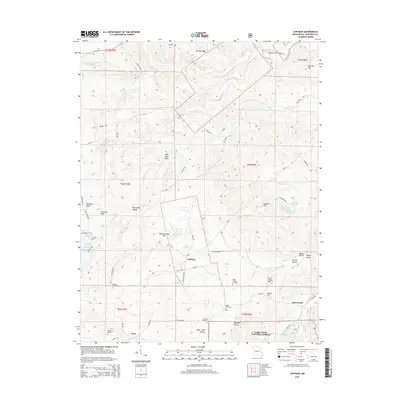
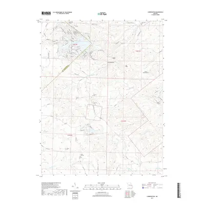
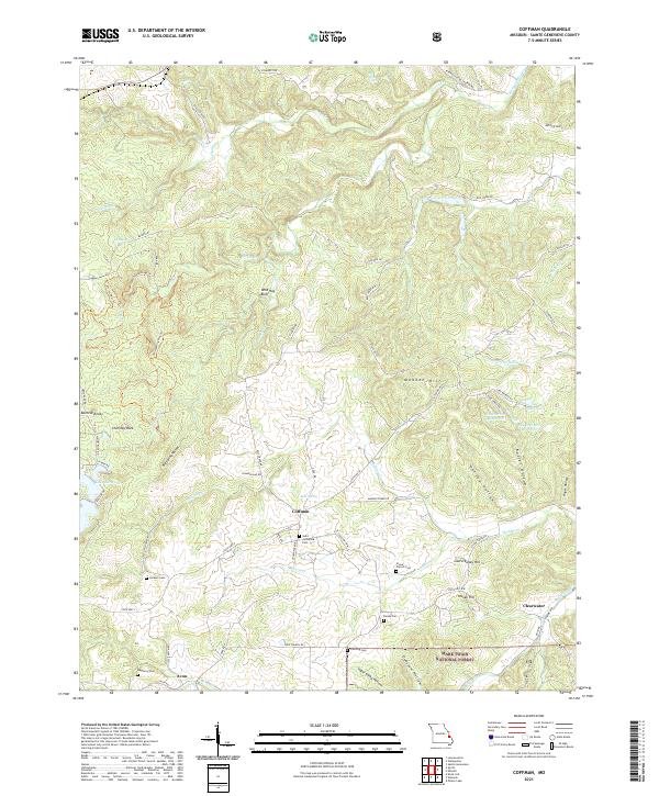
1980 Coffman
Ste. Genevieve County, MO
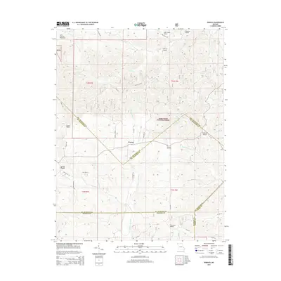
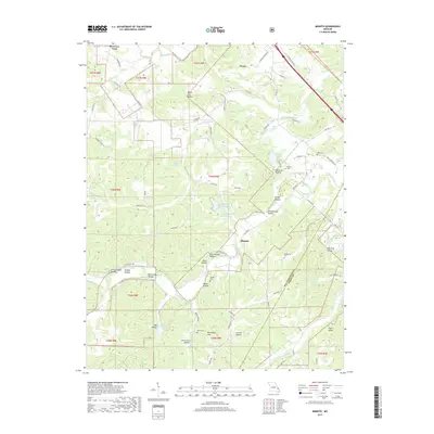
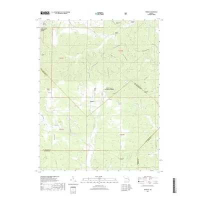
1980 Minnith
Ste. Genevieve County, MO
1993 Danby
Ste. Genevieve County, MO
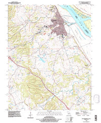
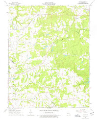
1993 Ste Genevieve
Ste. Genevieve County, MO
2000 Minnith
Ste. Genevieve County, MO
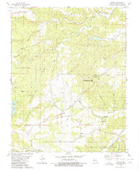
2000 Womack
Ste. Genevieve County, MO
2002 Coffman
Ste. Genevieve County, MO
2011 Coffman
Ste. Genevieve County, MO
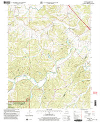
2011 Lawrenceton
Ste. Genevieve County, MO
2011 Minnith
Ste. Genevieve County, MO
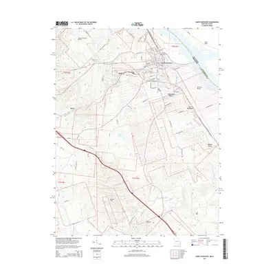
2011 Sainte Genevieve
Ste. Genevieve County, MO
2011 Sprott
Ste. Genevieve County, MO
2011 Womack
Ste. Genevieve County, MO
2012 Danby
Ste. Genevieve County, MO
2015 Coffman
Ste. Genevieve County, MO
2015 Danby
Ste. Genevieve County, MO
2015 Lawrenceton
Ste. Genevieve County, MO
2015 Minnith
Ste. Genevieve County, MO
2015 Sainte Genevieve
Ste. Genevieve County, MO
2015 Sprott
Ste. Genevieve County, MO
2015 Womack
Ste. Genevieve County, MO
2017 Coffman
Ste. Genevieve County, MO
2017 Danby
Ste. Genevieve County, MO
2017 Lawrenceton
Ste. Genevieve County, MO
2017 Minnith
Ste. Genevieve County, MO
2017 Sainte Genevieve
Ste. Genevieve County, MO
2017 Sprott
Ste. Genevieve County, MO
2017 Womack
Ste. Genevieve County, MO
2021 Coffman
Ste. Genevieve County, MO
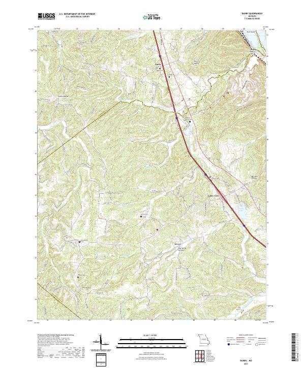
2021 Danby
Ste. Genevieve County, MO
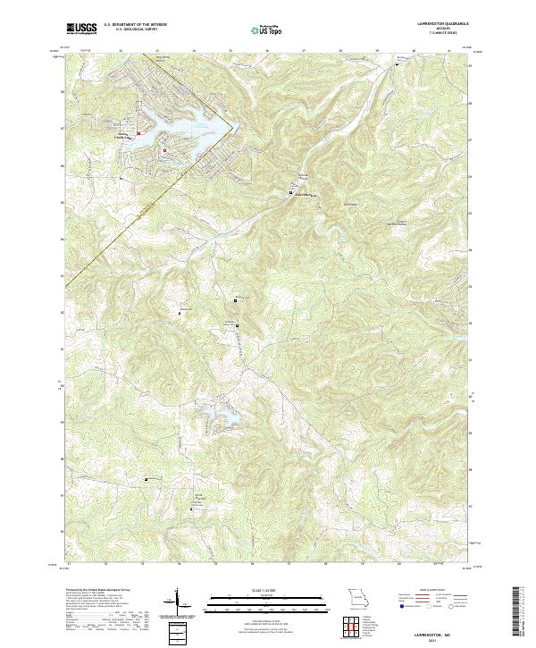
2021 Lawrenceton
Ste. Genevieve County, MO
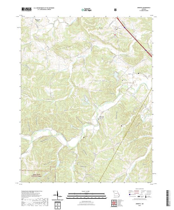
2021 Minnith
Ste. Genevieve County, MO
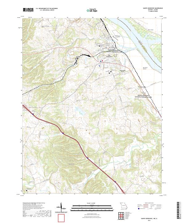
2021 Sainte Genevieve
Ste. Genevieve County, MO
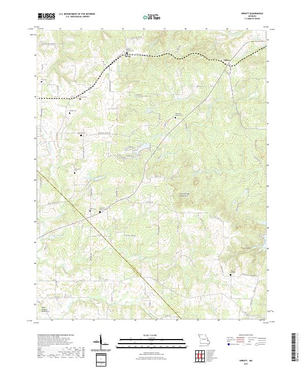
2021 Sprott
Ste. Genevieve County, MO
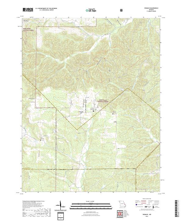
2021 Womack
Ste. Genevieve County, MO