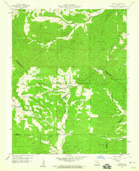
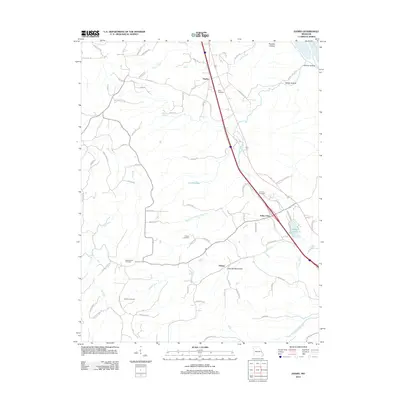
1959 Map of Womack
USGS Topo · Published 1960About this map
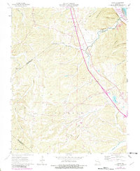
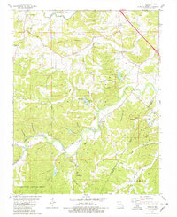
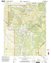
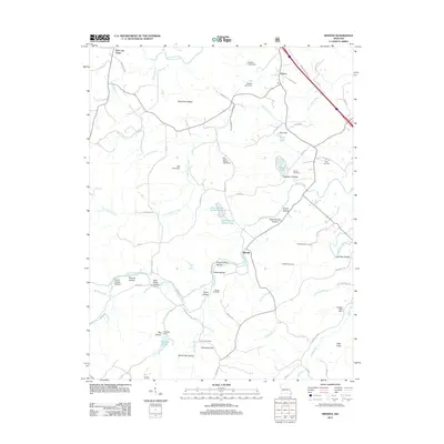
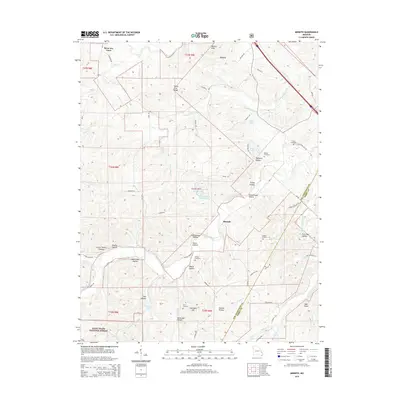
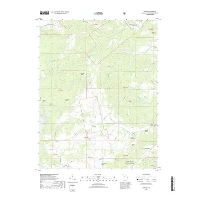
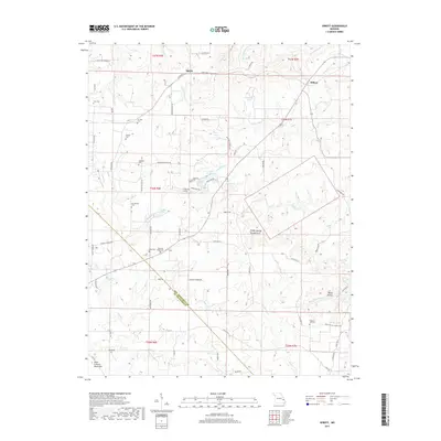
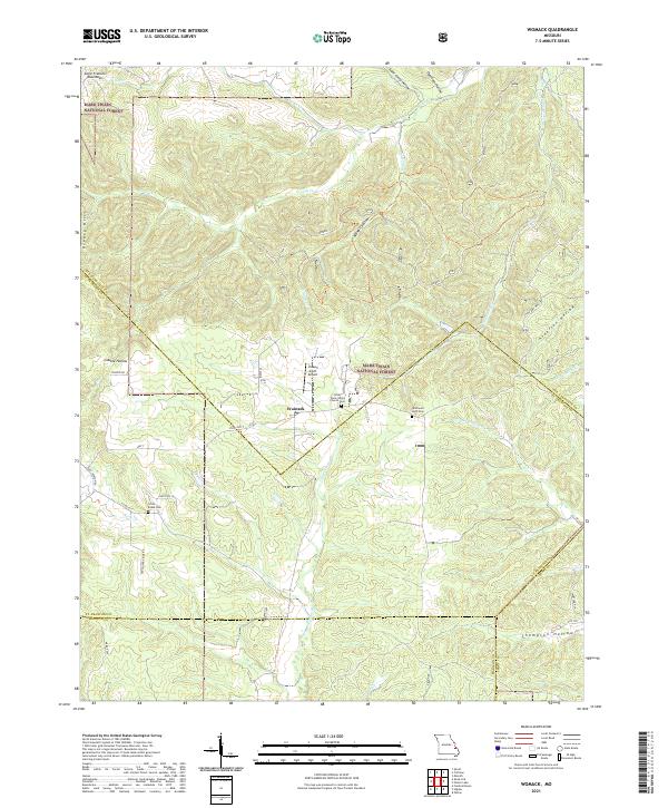
Womack serves as the central hub of this 1959 survey, situated near the intersection of several township boundaries including Saline, Liberty, and Castor. The landscape is characterized by a dense network of drainage systems, with Saline Creek and Greasy Creek cutting through the northern reaches while the Whitewater River and Castor River flow through the southern half. This period of Missouri's development is marked by a reliance on hilltop surveillance, evidenced by the Whitewater Lookout Tower and Higdon Lookout Tower. Local life is anchored by rural institutions like Unity School and Silver Point Church. The topography also reveals specialized infrastructure such as a Radio Range Station, reflecting mid-century navigation needs within the surrounding Clark National Forest. Numerous small family and community burial sites, including the McDowell Cemetery, are scattered across the terrain, providing valuable data for genealogical research.
Find a feature on this map
29 named features on this map. Tap any name to fly to it.
Don’t see what you’re looking for? This feature index may not catch every label — zoom into the map to look around manually.
Map Details
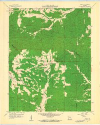
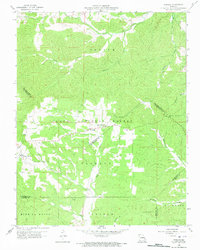
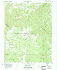
Editions of this 1959 Womack Map
4 editions found
Historical Maps of Womack Through Time
39 maps found
1959 Womack
Ste. Genevieve County, MO
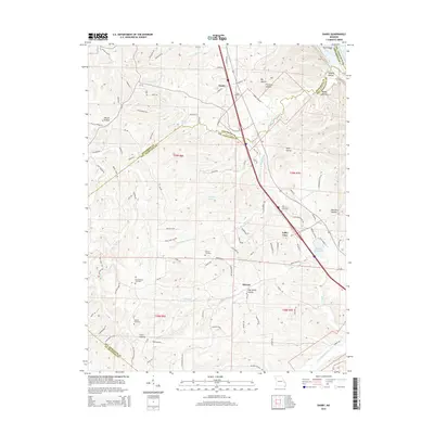
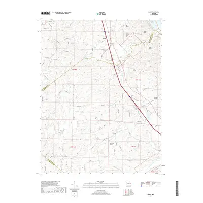
1964 Danby
Ste. Genevieve County, MO
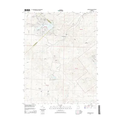
1964 Lawrenceton
Ste. Genevieve County, MO
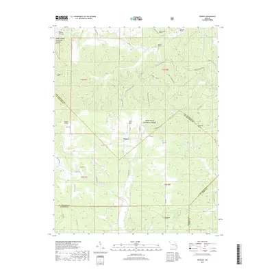
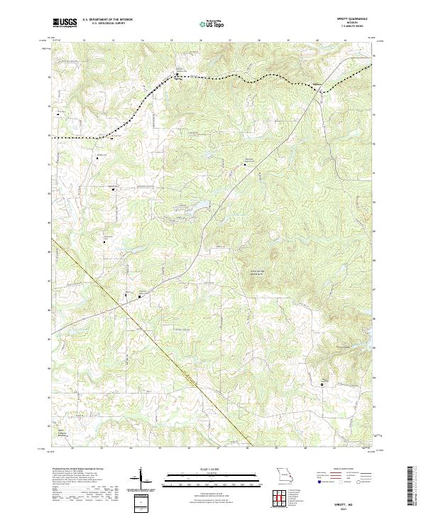
1964 Sprott
Ste. Genevieve County, MO
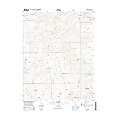
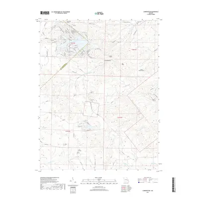
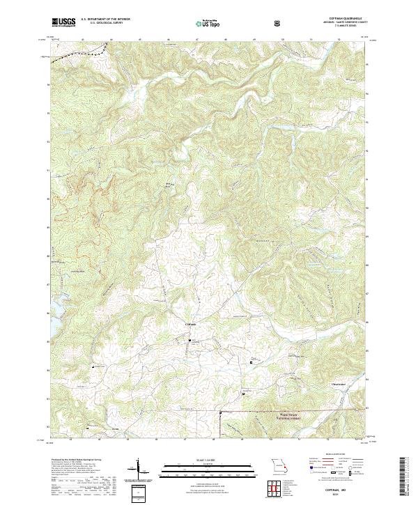
1980 Coffman
Ste. Genevieve County, MO
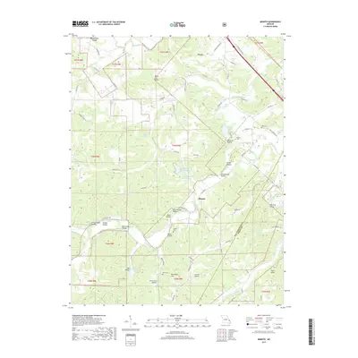
1980 Minnith
Ste. Genevieve County, MO
1993 Danby
Ste. Genevieve County, MO
1993 Ste Genevieve
Ste. Genevieve County, MO
2000 Minnith
Ste. Genevieve County, MO
2000 Womack
Ste. Genevieve County, MO
2002 Coffman
Ste. Genevieve County, MO
2011 Coffman
Ste. Genevieve County, MO
2011 Lawrenceton
Ste. Genevieve County, MO
2011 Minnith
Ste. Genevieve County, MO
2011 Sainte Genevieve
Ste. Genevieve County, MO
2011 Sprott
Ste. Genevieve County, MO
2011 Womack
Ste. Genevieve County, MO
2012 Danby
Ste. Genevieve County, MO
2015 Coffman
Ste. Genevieve County, MO
2015 Danby
Ste. Genevieve County, MO
2015 Lawrenceton
Ste. Genevieve County, MO
2015 Minnith
Ste. Genevieve County, MO
2015 Sainte Genevieve
Ste. Genevieve County, MO
2015 Sprott
Ste. Genevieve County, MO
2015 Womack
Ste. Genevieve County, MO
2017 Coffman
Ste. Genevieve County, MO
2017 Danby
Ste. Genevieve County, MO
2017 Lawrenceton
Ste. Genevieve County, MO
2017 Minnith
Ste. Genevieve County, MO
2017 Sainte Genevieve
Ste. Genevieve County, MO
2017 Sprott
Ste. Genevieve County, MO
2017 Womack
Ste. Genevieve County, MO
2021 Coffman
Ste. Genevieve County, MO
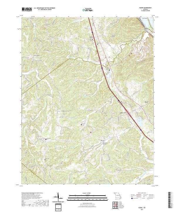
2021 Danby
Ste. Genevieve County, MO
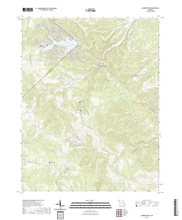
2021 Lawrenceton
Ste. Genevieve County, MO
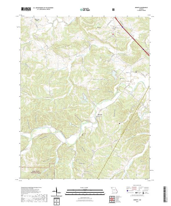
2021 Minnith
Ste. Genevieve County, MO
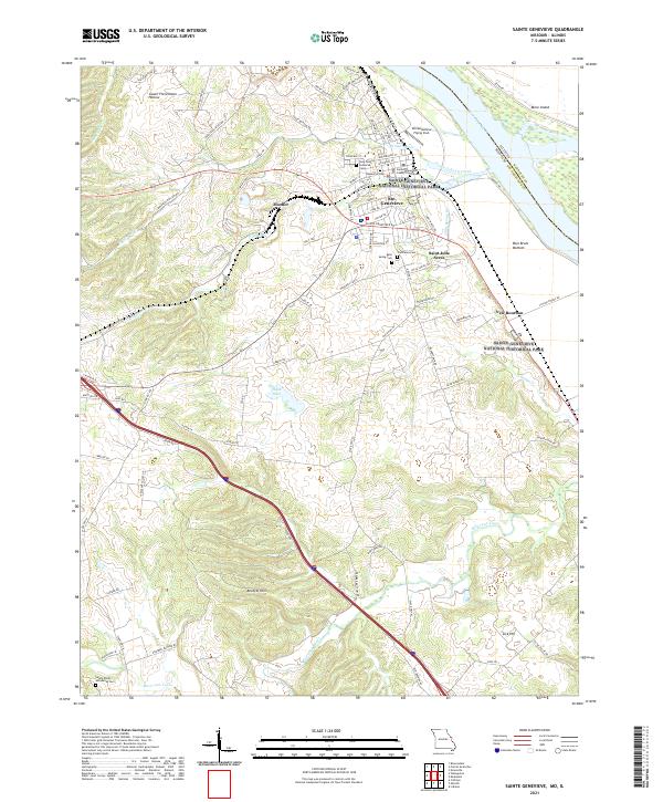
2021 Sainte Genevieve
Ste. Genevieve County, MO
2021 Sprott
Ste. Genevieve County, MO
2021 Womack
Ste. Genevieve County, MO