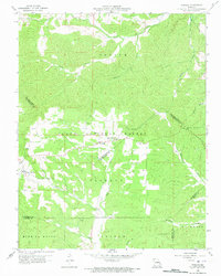
1959 Map of Womack
USGS Topo · Published 1973About this map
Womack serves as the central hub of this Missouri landscape, situated within the expansive Clark National Forest. The map reveals a community defined by its local institutions and rugged creek valleys, where the Silver Point Ch and McDowell Cem mark the social and ancestral centers of rural life. The terrain is deeply carved by the headwaters of several significant drainage systems, including the Whitewater River and the Castor River, which define the township boundaries for Liberty and Saline. Higher elevations are punctuated by fire towers and navigation aids, notably the Whitewater Lookout Tower and a Radio Range Station. In the southern portion, the map captures the transition into the Mine La Motte district and St Marys township, showing the dense network of ridges like Anderson Hollow that shaped the region's early transportation and settlement patterns.
Find a feature on this map
30 named features on this map. Tap any name to fly to it.
Don’t see what you’re looking for? This feature index may not catch every label — zoom into the map to look around manually.
Map Details
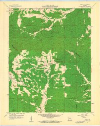
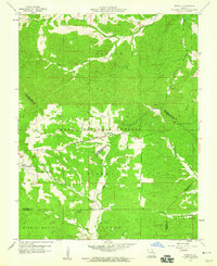
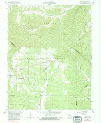
Editions of this 1959 Womack Map
4 editions found
Other maps of this area

1904 · Farmington
USGS Topo · 1:62,500

1906 · Farmington
USGS Topo · 1:62,500

1907 · Weingarten
USGS Topo · 1:62,500

1909 · Weingarten
USGS Topo · 1:62,500

1910 · Higdon
USGS Topo · 1:62,500

1939 · Fredericktown
USGS Topo · 1:48,000

1947 · Fredericktown
USGS Topo · 1:62,500

1949 · Rolla
USGS Topo · 1:250,000

1950 · Fredericktown
USGS Topo · 1:62,500

1953 · Rolla
USGS Topo · 1:250,000