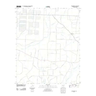
2011 Map of Woodberry
USGS Topo · Published 2011About this map
Woodberry and the surrounding timberlands of Calhoun County are defined by a complex drainage network including Champagnolle Creek and Locust Bayou. The landscape reflects a transition from traditional agriculture and settlement to timber management, indicated by the presence of Stout Tram and the Cotton Belt Spur Rd, which point to the region's logging and rail history. Families with long histories in the area can trace local geography through features like Dunn Cemetery and numerous waterways such as Jim Dunn Creek, Caney Creek, and Little Caney Creek. The road system is dominated by a grid of county routes, such as County Rd-90 and Silliman Rd, that navigate the low-lying terrain between these various creek systems.
Find a feature on this map
60 named features on this map. Tap any name to fly to it.
Don’t see what you’re looking for? This feature index may not catch every label — zoom into the map to look around manually.
Map Details
Editions of this 2011 Woodberry Map
This is the sole edition of this map. No revisions or reprints were ever made.
Other maps of this area

1903 · Camden
USGS Topo · 1:125,000

1934 · Moro Bay
USGS Topo · 1:62,500

1938 · Moro Bay
USGS Topo · 1:62,500

1939 · Moro Bay
USGS Topo · 1:62,500

1953 · El Dorado
USGS Topo · 1:250,000

1957 · El Dorado
USGS Topo · 1:250,000

1958 · El Dorado
USGS Topo · 1:250,000

1960 · El Dorado
USGS Topo · 1:250,000

1962 · Smackover NE
USGS Topo · 1:24,000

1962 · Snow Hill
USGS Topo · 1:24,000