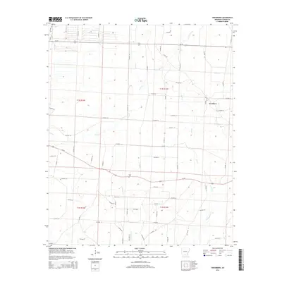
2014 Map of Woodberry
USGS Topo · Published 2014About this map
The settlement of Woodberry anchors the eastern edge of this Calhoun County landscape, situated near the intersection of several local routes in the West Gulf Coastal Plain. The area is defined by a dense network of watercourses that likely influenced historical land use and early timber operations, including Locust Bayou and Little Caney Cr to the north, and the south-flowing Champagnolle Cr. These creeks weave through a topography marked by numerous county roads, such as Calhoun 13 and Calhoun 218, which divide the terrain into a grid of sections. Genealogists may find interest in the Dunn Cem located north of Us-278, while the presence of Jim Dunn Cr and Dunn Cr suggests the long-standing influence of the Dunn family on this rural Arkansas geography.
Find a feature on this map
65 named features on this map. Tap any name to fly to it.
Don’t see what you’re looking for? This feature index may not catch every label — zoom into the map to look around manually.
Map Details
Editions of this 2014 Woodberry Map
This is the sole edition of this map. No revisions or reprints were ever made.
Other maps of this area

1903 · Camden
USGS Topo · 1:125,000

1934 · Moro Bay
USGS Topo · 1:62,500

1938 · Moro Bay
USGS Topo · 1:62,500

1939 · Moro Bay
USGS Topo · 1:62,500

1953 · El Dorado
USGS Topo · 1:250,000

1957 · El Dorado
USGS Topo · 1:250,000

1958 · El Dorado
USGS Topo · 1:250,000

1960 · El Dorado
USGS Topo · 1:250,000

1962 · Smackover NE
USGS Topo · 1:24,000

1962 · Snow Hill
USGS Topo · 1:24,000