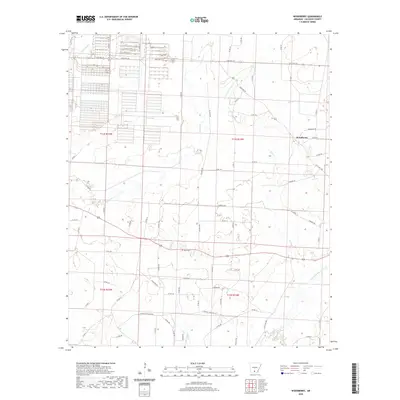
2020 Map of Woodberry
USGS Topo · Published 2020About this map
Woodberry serves as the central point of this Calhoun County landscape, where rural life is shaped by a complex network of waterways and county roads. The terrain is defined by the drainage of Champagnolle Cr and Locust Bayou, with smaller tributaries like Caney Cr and Little Caney Cr carving through the timberlands. This modern survey illustrates the persistent footprint of family and community history, notably at Dunn Cem, located near the junction of several rural routes. The local transportation network relies on corridors such as Silliman Rd and Nowlin Trl, which connect isolated homesteads to larger thoroughfares like State Hwy 274. The map provides a clear look at the Public Land Survey System divisions, including t13s r14w, showing how property lines and roads still follow the original township and range grids established in the nineteenth century.
Find a feature on this map
68 named features on this map. Tap any name to fly to it.
Don’t see what you’re looking for? This feature index may not catch every label — zoom into the map to look around manually.
Map Details
Editions of this 2020 Woodberry Map
This is the sole edition of this map. No revisions or reprints were ever made.
Other maps of this area

1903 · Camden
USGS Topo · 1:125,000

1934 · Moro Bay
USGS Topo · 1:62,500

1938 · Moro Bay
USGS Topo · 1:62,500

1939 · Moro Bay
USGS Topo · 1:62,500

1953 · El Dorado
USGS Topo · 1:250,000

1957 · El Dorado
USGS Topo · 1:250,000

1958 · El Dorado
USGS Topo · 1:250,000

1960 · El Dorado
USGS Topo · 1:250,000

1962 · Smackover NE
USGS Topo · 1:24,000

1962 · Snow Hill
USGS Topo · 1:24,000