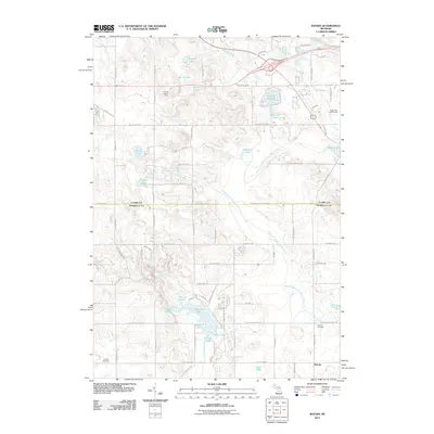
2011 Map of Woods
USGS Topo · Published 2011About this map
The North Branch Chippewa River and the South Branch Tobacco River define the hydrography of this central Michigan landscape, flowing through a region characterized by numerous glacial lakes and wetlands. The settlement of Woods anchors the southeastern corner, while the Farwell Lookout Tower stands as a prominent landmark in the northwest. This area serves as a significant drainage divide, with the Coldwater River and its tributaries like Sucker Creek feeding a complex network of water bodies including Littlefield Lake, Bass Lake, and Surrey Lake.
Find a feature on this map
75 named features on this map. Tap any name to fly to it.
Don’t see what you’re looking for? This feature index may not catch every label — zoom into the map to look around manually.
Map Details
Editions of this 2011 Woods Map
This is the sole edition of this map. No revisions or reprints were ever made.
Other maps of this area

1916 · Mount Pleasant
USGS Topo · 1:62,500

1919 · Mount Pleasant
USGS Topo · 1:62,500

1943 · Mount Pleasant
USGS Topo · 1:62,500

1954 · Midland
USGS Topo · 1:250,000

1958 · Midland
USGS Topo · 1:250,000

1959 · Midland
USGS Topo · 1:250,000

1959 · Lake
USGS Topo · 1:62,500

1959 · Clare
USGS Topo · 1:62,500

1964 · Sherman City
USGS Topo · 1:24,000

1966 · Midland
USGS Topo · 1:250,000