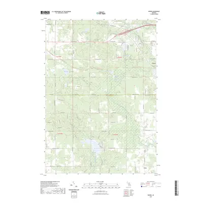
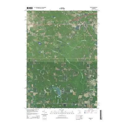
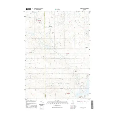
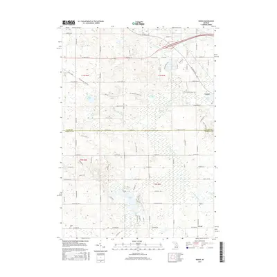
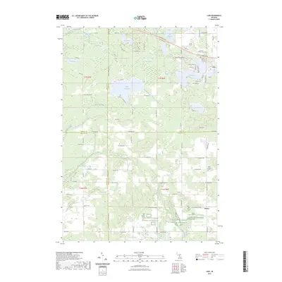
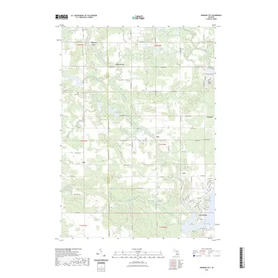
2023 Map of Woods
USGS Topo · Published 2023About this map
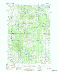
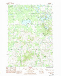
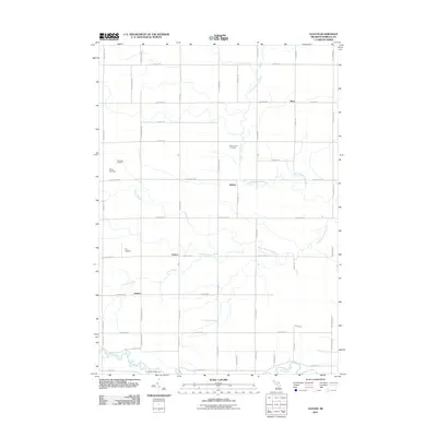
Farwell sits at the northeastern corner of this Central Michigan landscape, where the South Branch Tobacco River flows near the Mill Pond. The geography is defined by a dense network of glacial lakes and wetlands, including Deadman Lake and Deadman Swamp, which drain toward the North Branch Chippewa River. The southern portion of the map transition into Isabella Co, featuring the settlement of Woods and the Coldwater River as it passes through Outlet Lake.
Find a feature on this map
52 named features on this map. Tap any name to fly to it.
Don’t see what you’re looking for? This feature index may not catch every label — zoom into the map to look around manually.
Map Details
Editions of this 2023 Woods Map
This is the sole edition of this map. No revisions or reprints were ever made.
Historical Maps of Farwell Through Time
30 maps found
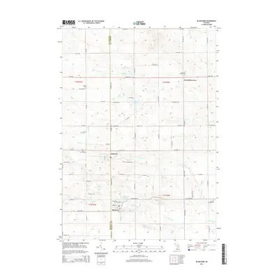
1964 Blanchard
Isabella County, MI
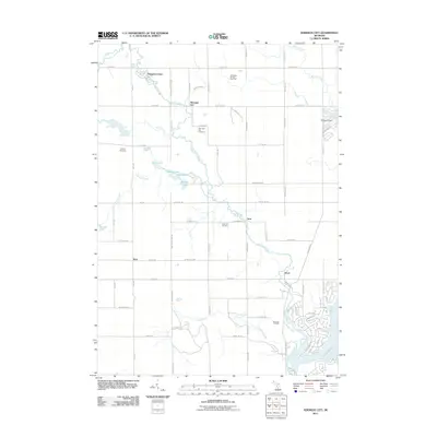
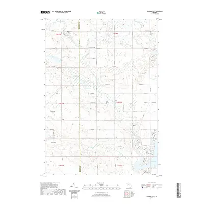
1964 Sherman City
Isabella County, MI
1973 Leaton
Isabella County, MI
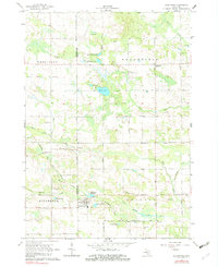
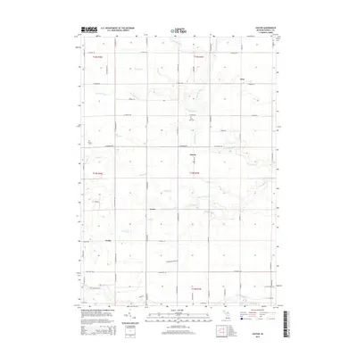
1983 Woods
Isabella County, MI
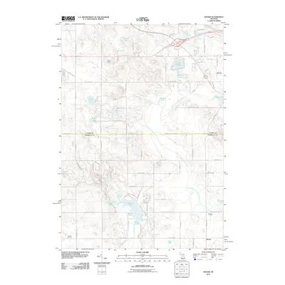
1984 Lake
Isabella County, MI
2011 Blanchard
Isabella County, MI
2011 Lake
Isabella County, MI
2011 Leaton
Isabella County, MI
2011 Sherman City
Isabella County, MI
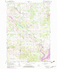
2011 Woods
Isabella County, MI
2014 Blanchard
Isabella County, MI
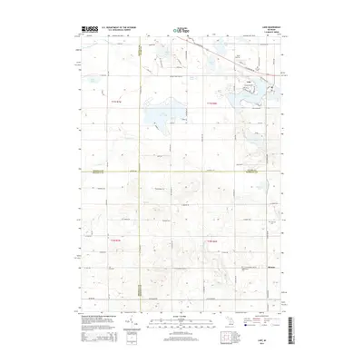
2014 Lake
Isabella County, MI
2014 Leaton
Isabella County, MI
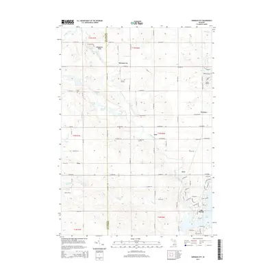
2014 Sherman City
Isabella County, MI
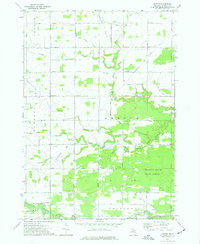
2014 Woods
Isabella County, MI
2017 Blanchard
Isabella County, MI
2017 Lake
Isabella County, MI
2017 Leaton
Isabella County, MI
2017 Sherman City
Isabella County, MI
2017 Woods
Isabella County, MI
2019 Blanchard
Isabella County, MI
2019 Lake
Isabella County, MI
2019 Leaton
Isabella County, MI
2019 Sherman City
Isabella County, MI
2019 Woods
Isabella County, MI
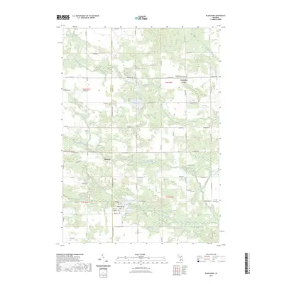
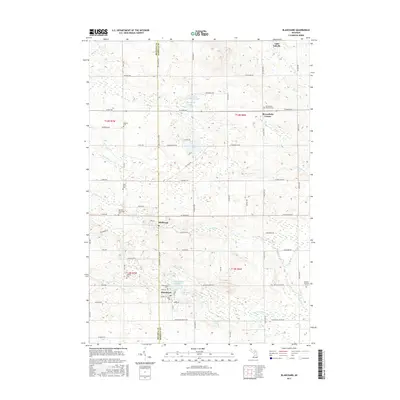
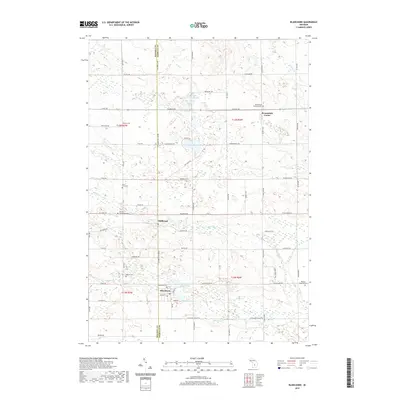
2023 Blanchard
Isabella County, MI
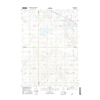
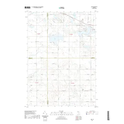
2023 Lake
Isabella County, MI
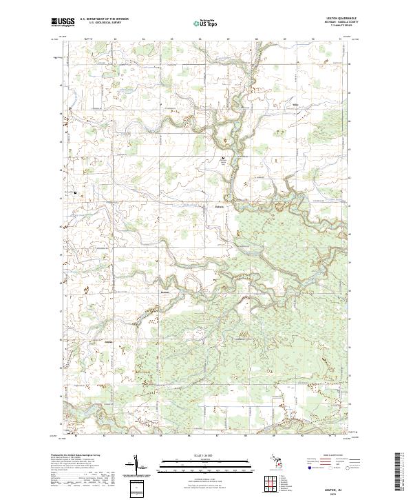
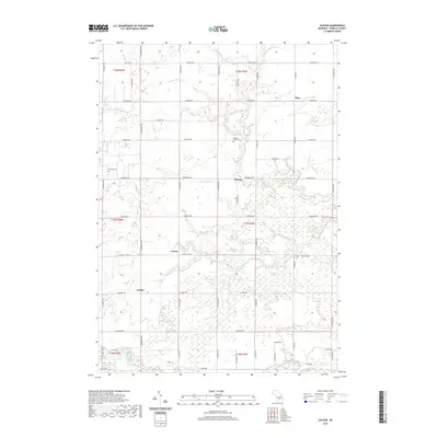
2023 Leaton
Isabella County, MI
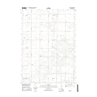
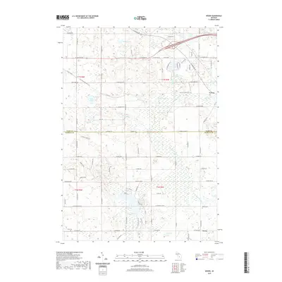
2023 Sherman City
Isabella County, MI
2023 Woods
Isabella County, MI
Featured Locations
- Garfield Township, MI
- Surrey Township, MI
- Coldwater Township, MI
- Gilmore Township, MI
- Farwell, Surrey Township