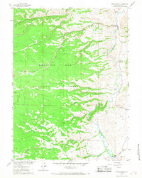
1961 Map of Woods Landing
USGS Topo · Published 1968About this map
The Laramie River valley defines this high-country landscape, where ranching and early scouting initiatives meet the expansive Medicine Bow National Forest. The settlement of Woods Landing serves as a focal point near the river's path, while the presence of the Jelm PO, New Jelm, and a simple Cem near Jelm indicates a scattered but established community at the base of the mountains.
Find a feature on this map
25 named features on this map. Tap any name to fly to it.
Don’t see what you’re looking for? This feature index may not catch every label — zoom into the map to look around manually.
Map Details
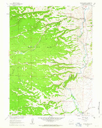
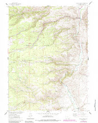
Editions of this 1961 Woods Landing Map
3 editions found
Other maps of this area

1895 · Laramie
USGS Topo · 1:125,000

1902 · Laramie
USGS Topo · 1:125,000

1905 · Laramie
USGS Topo · 1:125,000

1906 · Medicine Bow
USGS Topo · 1:125,000

1906 · Laramie
USGS Topo · 1:125,000

1908 · Laramie
USGS Topo · 1:125,000

1908 · Medicine Bow
USGS Topo · 1:125,000

1916 · Home
USGS Topo · 1:125,000

1920 · Home
USGS Topo · 1:125,000

1950 · Kings Canyon
USGS Topo · 1:24,000