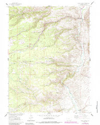
1961 Map of Woods Landing
USGS Topo · Published 1984About this map
The Laramie River carves a deep valley through this corner of the Medicine Bow National Forest, serving as the primary corridor for mountain settlement and water management. Along its banks, the distinct locales of Woods Landing, New Jelm, and Jelm mark historic stopping points where the river meets the foothills of Jelm Mountain. The map illustrates a landscape shaped by both recreation and ranching, evidenced by the presence of the Chimney Park Camp and the established Boswell Ranch.
Find a feature on this map
26 named features on this map. Tap any name to fly to it.
Don’t see what you’re looking for? This feature index may not catch every label — zoom into the map to look around manually.
Map Details
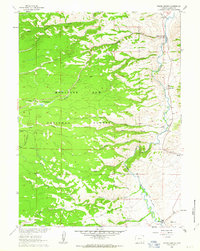
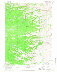
Editions of this 1961 Woods Landing Map
3 editions found
Other maps of this area

1895 · Laramie
USGS Topo · 1:125,000

1902 · Laramie
USGS Topo · 1:125,000

1905 · Laramie
USGS Topo · 1:125,000

1906 · Medicine Bow
USGS Topo · 1:125,000

1906 · Laramie
USGS Topo · 1:125,000

1908 · Laramie
USGS Topo · 1:125,000

1908 · Medicine Bow
USGS Topo · 1:125,000

1916 · Home
USGS Topo · 1:125,000

1920 · Home
USGS Topo · 1:125,000

1950 · Kings Canyon
USGS Topo · 1:24,000