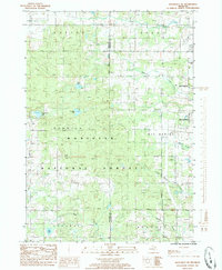
1985 Map of Woodville NE
USGS Topo · Published 1985About this map
Manistee National Forest covers much of this landscape, where the wooded terrain of Norwich and Barton townships meets the expanding industrial and recreational fringes of Big Rapids. The 1980s infrastructure reflects a period of transition, featuring a Drive-In Theater, a Trailer Park, and the Roben-Hood Airport on the city's outskirts. Evidence of the region’s earlier industrial past is preserved in the form of an Old R.R. Grade and numerous extraction sites, including a Borrow Pit and various Gravel Pits. Water resources are abundant, from the secluded Hungerford Lake and Bisel Lake to the meandering courses of Dalziel Creek and Mitchell Creek. This document captures the intersection of public forest lands and late-twentieth-century development, including a significant Hwy Under Construction that signals the modernizing transit network between Newaygo and Mecosta counties.
Find a feature on this map
34 named features on this map. Tap any name to fly to it.
Don’t see what you’re looking for? This feature index may not catch every label — zoom into the map to look around manually.
Map Details
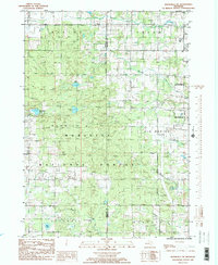
Editions of this 1985 Woodville NE Map
2 editions found
Other maps of this area

1954 · Midland
USGS Topo · 1:250,000

1958 · Midland
USGS Topo · 1:250,000

1958 · Woodville
USGS Topo · 1:62,500

1958 · Big Rapids
USGS Topo · 1:62,500

1959 · Midland
USGS Topo · 1:250,000

1959 · Evart
USGS Topo · 1:62,500

1959 · Reed City
USGS Topo · 1:62,500

1966 · Midland
USGS Topo · 1:250,000

1976 · Evart SW
USGS Topo · 1:24,000

1976 · Big Rapids SW
USGS Topo · 1:24,000