
1958 Map of Woodville
USGS Topo · Published 1960About this map
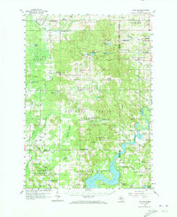
Woodville and the surrounding townships in the Manistee National Forest appear here in a period of transition between its timber-era past and a modern industrial landscape. The Muskegon River dominates the southeast, where the massive Hardy Dam Pond and nearby Oxbow Park reflect the region's mid-century development for power and recreation. Remnants of the lumbering days are visible in the numerous railroad grades that crisscross the northern forests, while the agrarian character of the land is preserved in small communities like Trumbull Corners and Big Prairie.
Find a feature on this map
77 named features on this map. Tap any name to fly to it.
Don’t see what you’re looking for? This feature index may not catch every label — zoom into the map to look around manually.
Map Details
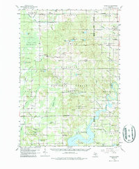
Editions of this 1958 Woodville Map
3 editions found
Other maps of this area

1954 · Midland
USGS Topo · 1:250,000

1958 · Midland
USGS Topo · 1:250,000

1958 · Sand Lake
USGS Topo · 1:62,500

1958 · Fremont
USGS Topo · 1:62,500

1958 · Big Rapids
USGS Topo · 1:62,500

1959 · Midland
USGS Topo · 1:250,000

1959 · Howard City
USGS Topo · 1:62,500

1959 · Evart
USGS Topo · 1:62,500

1959 · Reed City
USGS Topo · 1:62,500

1959 · Baldwin
USGS Topo · 1:62,500