
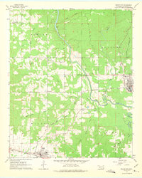
1962 Map of Wright City
USGS Topo · Published 1963About this map
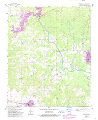
The Little River winds through this section of McCurtain County, defining a landscape of timber and transport in the early 1960s. Wright City serves as a focal point for the region's rail activity, where the Texas and Oklahoma Eastern Railroad intersects with an Industrial Railroad spur. To the southwest, Valliant marks a significant junction point where the Texas and Oklahoma Eastern meets the St Louis San Francisco line. The map captures a detailed look at rural life and infrastructure, from the White Sands Ch and Moran Cem to local landmarks like a Drive-in Theater and numerous Gravel Pits. Waterways such as Cypress Creek and White Oak Creek feed into the river system, while small clusters of settlement like Mound Grove and Plainview are scattered across the terrain of Fowler and Wilson.
Find a feature on this map
33 named features on this map. Tap any name to fly to it.
Don’t see what you’re looking for? This feature index may not catch every label — zoom into the map to look around manually.
Map Details
Editions of this 1962 Wright City Map
3 editions found
Other maps of this area

1901 · Alikchi
USGS Topo · 1:125,000

1902 · Lukfata
USGS Topo · 1:125,000

1950 · Mcalester
USGS Topo · 1:250,000

1951 · Garvin
USGS Topo · 1:24,000

1951 · Millerton
USGS Topo · 1:24,000

1951 · Kiomatia
USGS Topo · 1:24,000

1953 · Texarkana
USGS Topo · 1:250,000

1956 · Texarkana
USGS Topo · 1:250,000

1959 · Golden
USGS Topo · 1:62,500

1962 · McAlester
USGS Topo · 1:250,000