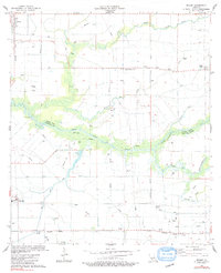
1983 Map of Wright
USGS Topo · Published 1991About this map
The low-lying prairie and marshlands of Acadia and Vermilion parishes are defined here by an intricate network of drainage canals, flumes, and siphons necessary for local agriculture. The Bayou Queue de Tortue forms the primary natural boundary between the two parishes, winding through a landscape dotted with oil and gas wells. Small settlements like Morse, Gueydan, and Wright are linked by the Southern Pacific railroad, which runs across the southern and western portions of the quadrangle. Local genealogy is well-represented by family-named landmarks such as Hanks Cem, Simon Cem, and Leger Cem, alongside the community hub of Lyons Point and St Johns Ch. This survey illustrates the transition from natural waterways like Simmons Gully and Coulée des Iles to a highly engineered agrarian environment.
Find a feature on this map
21 named features on this map. Tap any name to fly to it.
Don’t see what you’re looking for? This feature index may not catch every label — zoom into the map to look around manually.
Map Details
Editions of this 1983 Wright Map
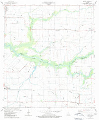
2 editions found
Other maps of this area

1946 · Morse
USGS Topo · 1:31,680

1946 · Schooner Bayou NE
USGS Topo · 1:31,680

1946 · Schooner Bayou NW
USGS Topo · 1:31,680

1946 · Mermentau
USGS Topo · 1:31,680

1946 · Kaplan
USGS Topo · 1:31,680

1946 · Rayne
USGS Topo · 1:31,680

1949 · Gueydan
USGS Topo · 1:31,680

1949 · Estherwood
USGS Topo · 1:31,680

1952 · Lake Charles
USGS Topo · 1:250,000
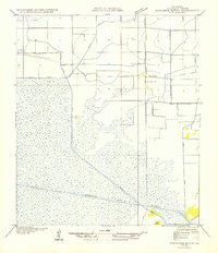
1954 · Schooner Bayou NW
USGS Topo · 1:31,680