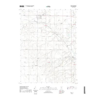
2018 Map of Wyanet
USGS Topo · Published 2018About this map
Wyanet and Tiskilwa anchor this Bureau County landscape, which is defined by the winding course of Big Bureau Creek and its many tributaries. The area exhibits a dense concentration of local heritage sites, particularly in its numerous burial grounds such as Forest Hill Cem and the County Home Cem. The topography transitions from the flatter northern sections around Pond Cr to the more varied terrain of Plow Hollow and Rocky Run in the south. Smaller communities like Providence and Cedar Bluff provide context for the rural settlement patterns that persist alongside water bodies like Bolton Lakes and Twin Faun Lake. The map reveals a highly structured grid of local roads, including 1500 North Ave and Co Rd 1400 E, which navigate the drainages of Silver Cr and Coal Cr as they feed into the larger creek systems.
Find a feature on this map
81 named features on this map. Tap any name to fly to it.
Don’t see what you’re looking for? This feature index may not catch every label — zoom into the map to look around manually.
Map Details
Editions of this 2018 Wyanet Map
This is the sole edition of this map. No revisions or reprints were ever made.
Other maps of this area

1893 · Lacon
USGS Topo · 1:62,500

1893 · Hennepin
USGS Topo · 1:62,500

1909 · Hennepin
USGS Topo · 1:62,500

1911 · Hennepin
USGS Topo · 1:62,500

1921 · Buda
USGS Topo · 1:62,500

1923 · Buda
USGS Topo · 1:62,500

1933 · Lacon
USGS Topo · 1:62,500

1933 · Camp Grove
USGS Topo · 1:48,000

1937 · Lacon
USGS Topo · 1:62,500

1945 · Bradford
USGS Topo · 1:62,500