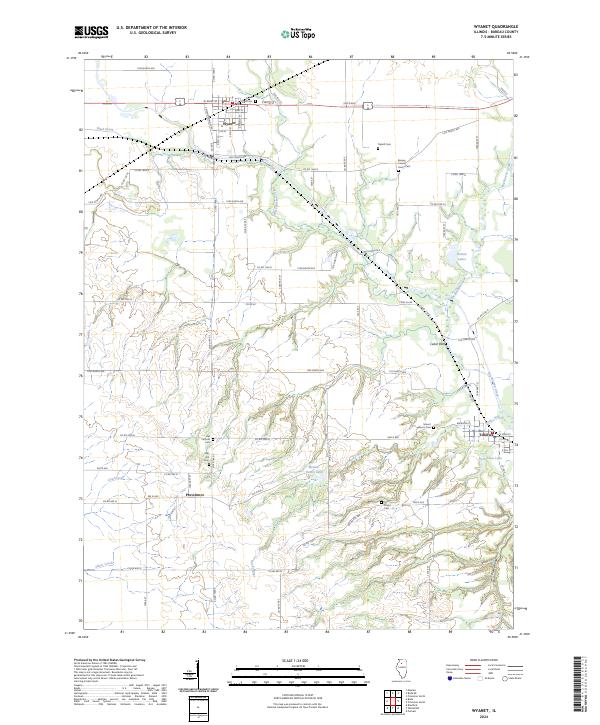
2024 Map of Wyanet
USGS Topo · Published 2024About this map
Wyanet and the surrounding Bureau County countryside are defined by a network of rural townships and winding waterways. The village of Wyanet serves as a central hub, where streets like W Main St and S Walnut St intersect near the northern reaches of West Bureau Creek. The landscape transitions from the agricultural plateaus around the crossroads of Providence to the more varied terrain of Cedar Bluff and the banks of Big Bureau Creek.
Find a feature on this map
83 named features on this map. Tap any name to fly to it.
Don’t see what you’re looking for? This feature index may not catch every label — zoom into the map to look around manually.
Map Details
Editions of this 2024 Wyanet Map
This is the sole edition of this map. No revisions or reprints were ever made.
Other maps of this area

1893 · Lacon
USGS Topo · 1:62,500

1893 · Hennepin
USGS Topo · 1:62,500

1909 · Hennepin
USGS Topo · 1:62,500

1911 · Hennepin
USGS Topo · 1:62,500

1921 · Buda
USGS Topo · 1:62,500

1923 · Buda
USGS Topo · 1:62,500

1933 · Lacon
USGS Topo · 1:62,500

1933 · Camp Grove
USGS Topo · 1:48,000

1937 · Lacon
USGS Topo · 1:62,500

1945 · Bradford
USGS Topo · 1:62,500