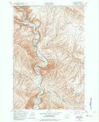
1953 Map of Wymer
USGS Topo · Published 1982About this map
The Yakima River carves a dramatic, sinuous path through this 1953 survey of Kittitas County, following a corridor where rail lines and canyon geography meet. The small rail-adjacent settlement of Wymer stands at a tight bend in the river, serving as a focal point for the transport network that parallels the water. Further north, the landscape is marked by the presence of Umtanum, another isolated station point where the canyon walls provide a stark backdrop to the essential transit line. This mapping project, produced from 1952 aerial photography, captures the stark spatial relationship between the river’s natural course and the man-made infrastructure required to navigate the Yakima Canyon. For local historians and researchers, the map provides a clear record of the specific locations and layouts of these small rail-stop communities during the early post-war era before significant highway expansion altered the region's accessibility.
Find a feature on this map
2 named features on this map. Tap any name to fly to it.
Don’t see what you’re looking for? This feature index may not catch every label — zoom into the map to look around manually.
Map Details
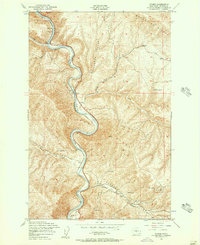
Editions of this 1953 Wymer Map
2 editions found
Other maps of this area

1899 · Ellensburg
USGS Topo · 1:125,000

1901 · Ellensburg
USGS Topo · 1:125,000

1936 · Yakima East
USGS Topo · 1:48,000

1938 · Badger Pocket
USGS Topo · 1:48,000

1941 · Yakima East
USGS Topo · 1:62,500

1943 · Badger Pocket
USGS Topo · 1:62,500

1950 · Yakima
USGS Topo · 1:250,000

1953 · Pomona
USGS Topo · 1:24,000
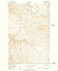
1953 · Badger Gap
USGS Topo · 1:24,000
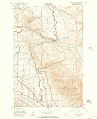
1953 · East Kittitas
USGS Topo · 1:24,000