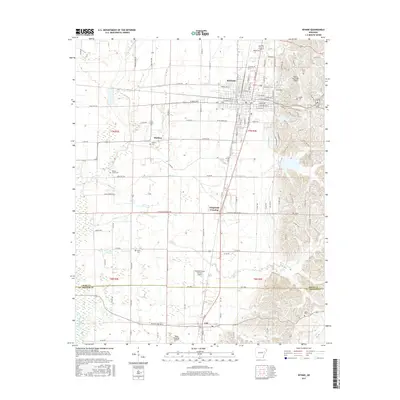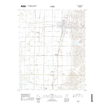
1984 Map of Wynne
USGS Topo · Published 1985About this map
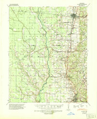
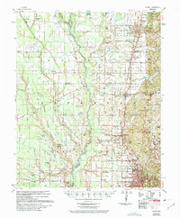
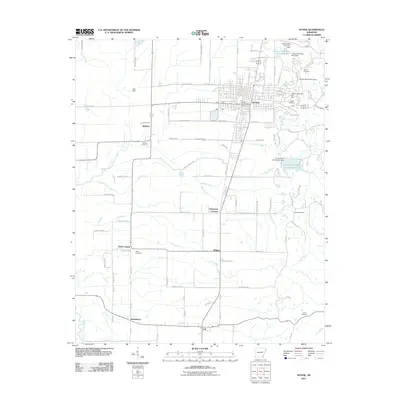
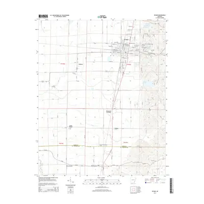
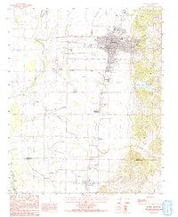
Crowleys Ridge rises above the lowlands of Eastern Arkansas in this mid-1980s study, showcasing the distinct topographical shift between the elevated ridge and the surrounding delta. The city of Wynne sits at the foot of these slopes, serving as the principal hub where major rail lines intersect and small settlements like McElroy, Williams, and Wilkins dot the agricultural landscape. The map captures the intricate drainage network essential to this region, with Indian Creek, Cane Creek, and Lick Creek winding through the terrain toward the L' Anguille river basin.
Find a feature on this map
25 named features on this map. Tap any name to fly to it.
Don’t see what you’re looking for? This feature index may not catch every label — zoom into the map to look around manually.
Map Details
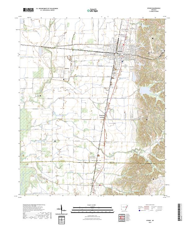
Editions of this 1984 Wynne Map
2 editions found
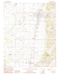
Historical Maps of Wynne Through Time
8 maps found