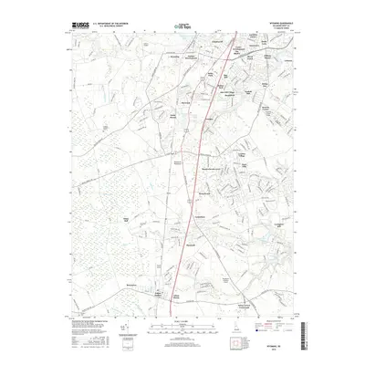
2016 Map of Wyoming
USGS Topo · Published 2016About this map
Wyoming Lake and the upper reaches of the Murderkill River anchor this mid-2010s landscape on the Delmarva Peninsula. The area demonstrates a shift from rural agricultural land to residential development, with numerous distinct neighborhoods such as Meadowbrook Acres, London Village, and Tidbury Manor expanding along the highway corridors. Local aviation is particularly prominent, with three separate landing strips—Jenkins Airport, Doyle's Airport, and Henderson Aviation Airport—dotted across the countryside. Genealogists and local historians can trace small family and community burial sites, including Kingdom Holiness Cem and Downham Cem, which remain as quiet landmarks amidst the growing suburban footprint. The drainage of the land is meticulously detailed through a network of small runs and branches, including Tidbury Creek, Double Run, and Pratt Branch, which feed into larger bodies like Andrews Lake.
Find a feature on this map
234 named features on this map. Tap any name to fly to it.
Don’t see what you’re looking for? This feature index may not catch every label — zoom into the map to look around manually.
Map Details
Editions of this 2016 Wyoming Map
This is the sole edition of this map. No revisions or reprints were ever made.
Other maps of this area

1899 · Vineland
USGS Topo · 1:125,000

1899 · Dover
USGS Topo · 1:125,000

1906 · Dover
USGS Topo · 1:125,000

1918 · Cedar Creek
USGS Topo · 1:62,500

1918 · Harrington
USGS Topo · 1:62,500

1919 · Cedar Creek
USGS Topo · 1:62,500

1919 · Vineland
USGS Topo · 1:125,000

1920 · Dover
USGS Topo · 1:125,000

1926 · Wyoming
USGS Topo · 1:48,000

1930 · Wyoming
USGS Topo · 1:62,500