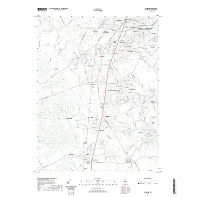
2019 Map of Wyoming
USGS Topo · Published 2019About this map
Camden and Wyoming serve as the central hubs for this region of the Delmarva Peninsula, where the landscape is defined by a dense network of suburban developments and long-standing agricultural features. The map illustrates the 2019 footprint of residential expansion with numerous named clusters like Highland Acres, Rising Sun-Lebanon, and Garton Development. Despite this growth, the area's milling history is still visible through landmarks such as Voshell Mill and Lexington Mill, often located near significant water bodies like Voshell Pond and Andrews Lake.
Find a feature on this map
235 named features on this map. Tap any name to fly to it.
Don’t see what you’re looking for? This feature index may not catch every label — zoom into the map to look around manually.
Map Details
Editions of this 2019 Wyoming Map
This is the sole edition of this map. No revisions or reprints were ever made.
Other maps of this area

1899 · Vineland
USGS Topo · 1:125,000

1899 · Dover
USGS Topo · 1:125,000

1906 · Dover
USGS Topo · 1:125,000

1918 · Cedar Creek
USGS Topo · 1:62,500

1918 · Harrington
USGS Topo · 1:62,500

1919 · Cedar Creek
USGS Topo · 1:62,500

1919 · Vineland
USGS Topo · 1:125,000

1920 · Dover
USGS Topo · 1:125,000

1926 · Wyoming
USGS Topo · 1:48,000

1930 · Wyoming
USGS Topo · 1:62,500