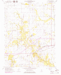
1968 Map of Xenia NE
USGS Topo · Published 1979About this map
Kenner Oil Field and the Xenia Oil Field dominate the southern landscape of this 1968 study, where scattered oil wells and a network of pipelines define the local extraction economy. The region is largely rural, divided into townships including Oskaloosa, Louisville, and Harter. Settlement is concentrated around the small community of Kenner and along the Baltimore and Ohio railroad corridor that cuts through the center. Small rural landmarks provide critical points of reference for local historians, from McCabe Chapel and Lincoln Sch to numerous family and community burial grounds such as Meisenheimer Cem and Oak Mound Cem. The drainage patterns of Buck Creek and Raccoon Creek weave through the township boundaries, alongside modern additions like a drive-in theater near the northern edge.
Find a feature on this map
30 named features on this map. Tap any name to fly to it.
Don’t see what you’re looking for? This feature index may not catch every label — zoom into the map to look around manually.
Map Details
Editions of this 1968 Xenia NE Map
2 editions found
Other maps of this area

1948 · Flora
USGS Topo · 1:62,500

1949 · Flora
USGS Topo · 1:62,500

1952 · Xenia
USGS Topo · 1:62,500

1953 · Sailor Springs
USGS Topo · 1:62,500

1956 · Edgewood
USGS Topo · 1:62,500

1958 · Belleville
USGS Topo · 1:250,000

1962 · Belleville
USGS Topo · 1:250,000
1968 · Orchardville
USGS Topo · 1:24,000
1968 · Xenia
USGS Topo · 1:24,000
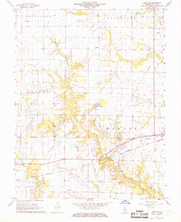
1968 · Xenia NE
USGS Topo · 1:24,000