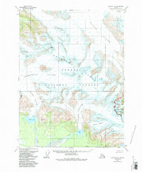
1959 Map of Yakutat B-2
USGS Topo · Published 1991About this map
Mt Reaburn and the peaks of the Brabazon Range anchor this 1959 survey of the Alaskan wilderness, where the movement of massive ice fields defines the landscape. The map shows the convergence of the Novatak Glacier, Chamberlain Glacier, and Rodman Glacier as they flow through the Tongass National Forest. Below the high ice, the Tanis River and Ustay River carry glacial runoff toward the coast, creating a complex network of braided streams and marshland around Tanis Lake.
Find a feature on this map
21 named features on this map. Tap any name to fly to it.
Don’t see what you’re looking for? This feature index may not catch every label — zoom into the map to look around manually.
Map Details
Editions of this 1959 Yakutat B-2 Map
3 editions found
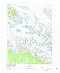
Other maps of this area

1951 · Yakutat
USGS Topo · 1:250,000

1959 · Yakutat A-1
USGS Topo · 1:63,360

1959 · Yakutat C-3
USGS Topo · 1:63,360

1959 · Yakutat A-2
USGS Topo · 1:63,360
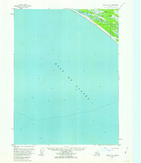
1959 · Yakutat A-3
USGS Topo · 1:63,360

1959 · Yakutat B-3
USGS Topo · 1:63,360

1959 · Yakutat B-2
USGS Topo · 1:63,360

1959 · Yakutat B-1
USGS Topo · 1:63,360

1959 · Yakutat
USGS Topo · 1:250,000
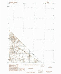
1985 · Yakutat C-1
USGS Topo · 1:63,360