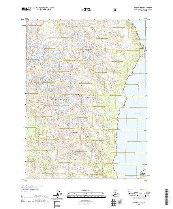
2021 Map of Yakutat D-4 SW
USGS Topo · Published 2021About this map
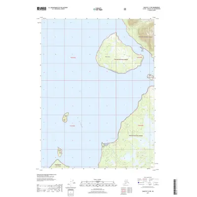
The Saint Elias Mountains dominate this glacial landscape along the eastern edge of Russell Fiord. As of 2021, the shifting ice of McCarty Glacier and Hendrickson Glacier continues to shape the high-elevation terrain within the Tongass National Forest. Significant peaks such as Mt Hendrickson and Mt Rasmuson provide clear reference points for the extreme topography of the region. The shoreline features the distinct projection of Cape Enchantment, where the mountains meet the water. This survey captures the hydrologic patterns of Calahonda Cr as it drains the rugged coastal interior. The map illustrates a wilderness defined by active glaciation and complex shoreline geomorphology, offering a precise view of the relationship between the coastal waters and the ice-capped peaks of the Pacific Northwest.
Find a feature on this map
15 named features on this map. Tap any name to fly to it.
Don’t see what you’re looking for? This feature index may not catch every label — zoom into the map to look around manually.
Map Details
Editions of this 2021 Yakutat D-4 SW Map
This is the sole edition of this map. No revisions or reprints were ever made.
Other maps of this area

1951 · Yakutat
USGS Topo · 1:250,000

1959 · Yakutat C-5
USGS Topo · 1:63,360

1959 · Yakutat D-4
USGS Topo · 1:63,360

1959 · Yakutat C-4
USGS Topo · 1:63,360

1959 · Yakutat D-5
USGS Topo · 1:63,360

1959 · Yakutat
USGS Topo · 1:250,000
1996 · Yakutat C-5
USGS Topo · 1:63,360
1997 · Yakutat C-4
USGS Topo · 1:63,360
2017 · Yakutat D-4 SW
USGS Topo · 1:25,000
2017 · Yakutat C-5 NE
USGS Topo · 1:25,000