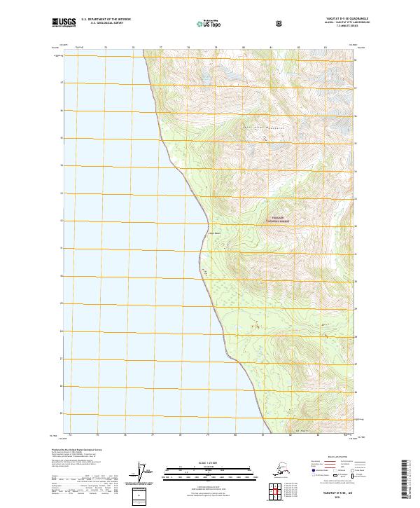
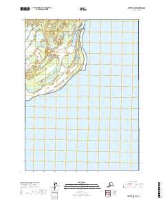
2021 Map of Yakutat D-5 SE
USGS Topo · Published 2021About this map
The Saint Elias Mountains meet the Gulf of Alaska in this coastal region of the Tongass National Forest. Dominated by the transition from glacial ice to shoreline, the landscape features the terminal reaches of the Libbey Glacier and the northern flow of Aquadulce Cr. This 2021 update documents the evolving coastline along Logan Beach, where steep topographic contours descend rapidly from mountain peaks toward the water. Toward the southern extent of the map, Mt Hoorts rises above the shoreline, marking a high point in the rugged coastal terrain. The map provides a precise look at the interface between wilderness and sea in a region largely defined by its natural boundaries and lack of human infrastructure.
Find a feature on this map
12 named features on this map. Tap any name to fly to it.
Don’t see what you’re looking for? This feature index may not catch every label — zoom into the map to look around manually.
Map Details
Editions of this 2021 Yakutat D-5 SE Map
This is the sole edition of this map. No revisions or reprints were ever made.
Other maps of this area

1951 · Yakutat
USGS Topo · 1:250,000

1959 · Yakutat C-5
USGS Topo · 1:63,360

1959 · Yakutat D-4
USGS Topo · 1:63,360

1959 · Yakutat C-4
USGS Topo · 1:63,360

1959 · Yakutat D-5
USGS Topo · 1:63,360

1959 · Yakutat
USGS Topo · 1:250,000
1996 · Yakutat C-5
USGS Topo · 1:63,360
1997 · Yakutat C-4
USGS Topo · 1:63,360
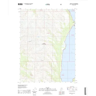
2017 · Yakutat D-4 SW
USGS Topo · 1:25,000
2017 · Yakutat D-5 SW
USGS Topo · 1:25,000