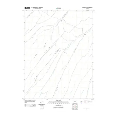
2010 Map of Yankee Gulch
USGS Topo · Published 2010About this map
Wagonroad Ridge dominates the central landscape of this Rio Blanco County terrain, serving as a high-ground divider between a complex system of drainage networks. The map detail highlights a rugged ranching environment where water sources like Black Sulphur Creek and Wet Swizer Creek dictate the placement of human activity. Settled outposts such as Reigle Ranch in the north and Duckett Ranch to the east represent the sparse, resilient habitation of this high-desert region.
Find a feature on this map
23 named features on this map. Tap any name to fly to it.
Don’t see what you’re looking for? This feature index may not catch every label — zoom into the map to look around manually.
Map Details
Editions of this 2010 Yankee Gulch Map
This is the sole edition of this map. No revisions or reprints were ever made.
Other maps of this area

1929 · Highmore
USGS Topo · 1:62,500

1952 · Wolf Ridge
USGS Topo · 1:24,000

1952 · Yankee Gulch
USGS Topo · 1:24,000

1952 · Rock School
USGS Topo · 1:24,000

1952 · Square S Ranch
USGS Topo · 1:24,000

1956 · Grand Junction
USGS Topo · 1:250,000

1959 · Grand Junction
USGS Topo · 1:250,000

1960 · Grand Junction
USGS Topo · 1:250,000

1962 · Grand Junction
USGS Topo · 1:250,000

1964 · Grand Junction
USGS Topo · 1:250,000