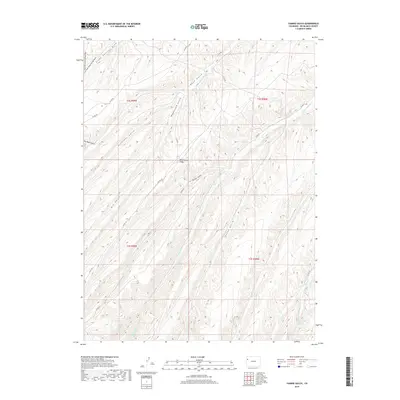
2019 Map of Yankee Gulch
USGS Topo · Published 2019About this map
Wagonroad Ridge dominates the central divide of this Rio Blanco County landscape, serving as a prominent geographical anchor for a complex network of canyons and drainages. The area is characterized by an intricate system of gulches, including Yankee Gulch, Galloway Gulch, and Wagonroad Gulch, which reveal the deep erosional patterns of the Piceance Basin. Waterways like Black Sulphur Cr and Wet Switzer Cr follow the narrow valley floors, while the northern reaches are defined by the convergence of Left Fork Stake Springs Draw and Right Fork Stake Springs Draw. A skeletal network of county roads, such as Co RD 68 and Co RD 86, provides the only human imprint on this vast topography, tracing the natural contours of the ridges and draws in a region defined by its isolation and topographical relief.
Find a feature on this map
30 named features on this map. Tap any name to fly to it.
Don’t see what you’re looking for? This feature index may not catch every label — zoom into the map to look around manually.
Map Details
Editions of this 2019 Yankee Gulch Map
This is the sole edition of this map. No revisions or reprints were ever made.
Other maps of this area

1929 · Highmore
USGS Topo · 1:62,500

1952 · Wolf Ridge
USGS Topo · 1:24,000

1952 · Yankee Gulch
USGS Topo · 1:24,000

1952 · Rock School
USGS Topo · 1:24,000

1952 · Square S Ranch
USGS Topo · 1:24,000

1956 · Grand Junction
USGS Topo · 1:250,000

1959 · Grand Junction
USGS Topo · 1:250,000

1960 · Grand Junction
USGS Topo · 1:250,000

1962 · Grand Junction
USGS Topo · 1:250,000

1964 · Grand Junction
USGS Topo · 1:250,000