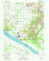
1964 Map of Yankeetown
USGS Topo · Published 1973About this map
The Ohio River shoreline and its surrounding bottomlands define this mid-1960s landscape, where industrial infrastructure meets rural settlement. Extensive Strip Mine operations dominate the higher ground to the east and north, particularly near Red Bush and Pelzer, creating a stark contrast with the agricultural grid of the Anderson and Boon townships. The map documents a complex drainage network, including Little Pigeon Creek, Cypress Creek, and Long Pond Ditch, which manage the low-lying terrain near Scuffletown and Vanada. Local history is anchored by numerous country churches and cemeteries, such as St Ruperts Ch, Pleasant Chapel, and Hedge Cem. The community of Yankeetown, featuring its namesake Yankeetown Sch, serves as a central hub, while an Old Railroad Grade and an array of conveyor systems near the river hint at the heavy reliance on coal and river transport.
Find a feature on this map
54 named features on this map. Tap any name to fly to it.
Don’t see what you’re looking for? This feature index may not catch every label — zoom into the map to look around manually.
Map Details
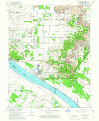
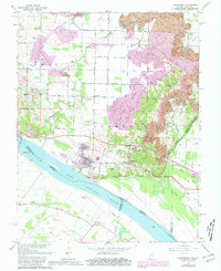
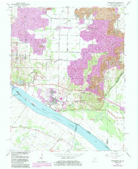
Editions of this 1964 Yankeetown Map
4 editions found
Other maps of this area

1900 · De Gonia Springs
USGS Topo · 1:62,500

1901 · Owensboro
USGS Topo · 1:62,500

1902 · Ditney
USGS Topo · 1:125,000

1902 · Degonia Springs
USGS Topo · 1:62,500

1902 · Boonville
USGS Topo · 1:62,500

1905 · Newburg
USGS Topo · 1:62,500

1951 · Yankeetown
USGS Topo · 1:24,000

1951 · Spottsville
USGS Topo · 1:24,000

1952 · Owensboro West
USGS Topo · 1:24,000

1952 · Newburgh
USGS Topo · 1:24,000