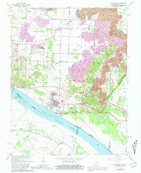
1964 Map of Yankeetown
USGS Topo · Published 1981About this map
Yankeetown and the surrounding riverfront of Warrick County define this segment of the Ohio River during a period of transition in the mid-20th century. While the river remains a dominant geographic force, the landscape shows significant industrial modification, notably several Strip Mine operations scattered across the northern and eastern portions of the quadrangle. These large-scale extractions sit alongside traditional rural landmarks like St Ruperts Ch and Union Ch.
Find a feature on this map
60 named features on this map. Tap any name to fly to it.
Don’t see what you’re looking for? This feature index may not catch every label — zoom into the map to look around manually.
Map Details
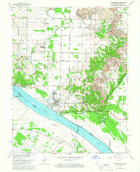
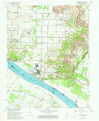
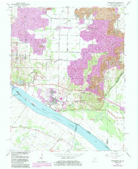
Editions of this 1964 Yankeetown Map
4 editions found
Other maps of this area

1900 · De Gonia Springs
USGS Topo · 1:62,500

1901 · Owensboro
USGS Topo · 1:62,500

1902 · Ditney
USGS Topo · 1:125,000

1902 · Degonia Springs
USGS Topo · 1:62,500

1902 · Boonville
USGS Topo · 1:62,500

1905 · Newburg
USGS Topo · 1:62,500

1951 · Yankeetown
USGS Topo · 1:24,000

1951 · Spottsville
USGS Topo · 1:24,000

1952 · Owensboro West
USGS Topo · 1:24,000

1952 · Newburgh
USGS Topo · 1:24,000