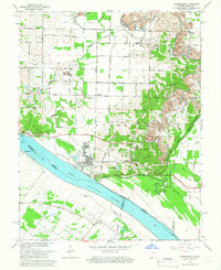
1964 Map of Yankeetown
USGS Topo · Published 1966About this map
The Ohio River shoreline near Yankeetown and Carlinburg defines this mid-century landscape where industrial mining meets rural settlements. In the mid-1960s, the terrain shows heavy modification from numerous Strip Mines north of Red Bush, contrasting with the more traditional riverfront features like Griffith Slough and Clear Pond. The map documents a network of small communities and rural religious life, evidenced by Pleasant Chapel, Bethany Ch, and St Ruperts Ch, along with family and community burial grounds such as Hedge Cem and Yankeetown Cem.
Find a feature on this map
53 named features on this map. Tap any name to fly to it.
Don’t see what you’re looking for? This feature index may not catch every label — zoom into the map to look around manually.
Map Details
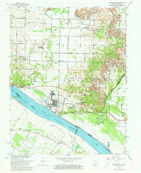
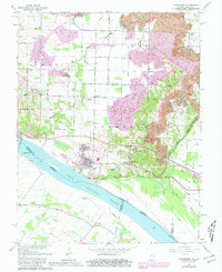
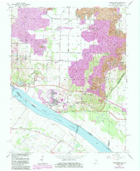
Editions of this 1964 Yankeetown Map
4 editions found
Other maps of this area

1900 · De Gonia Springs
USGS Topo · 1:62,500

1901 · Owensboro
USGS Topo · 1:62,500

1902 · Ditney
USGS Topo · 1:125,000

1902 · Degonia Springs
USGS Topo · 1:62,500

1902 · Boonville
USGS Topo · 1:62,500

1905 · Newburg
USGS Topo · 1:62,500

1951 · Yankeetown
USGS Topo · 1:24,000

1951 · Spottsville
USGS Topo · 1:24,000

1952 · Owensboro West
USGS Topo · 1:24,000

1952 · Newburgh
USGS Topo · 1:24,000