
1905 Map of Yellville
USGS Topo · Published 1905About this map
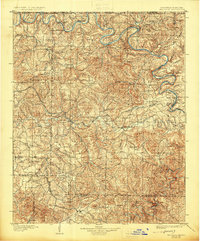
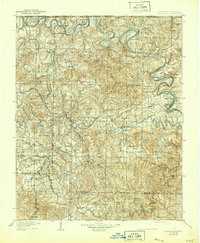
Yellville serves as the central hub of this Ozark landscape, which is defined by the winding course of the White River and its numerous historic crossing points. Long before the era of major dams, the river's commerce is evident through a series of landings and ferries, including Denton Ferry, Pace Ferry, and McBee Landing. These river connections, along with inland shoals like Buck Shoals Ford, were the primary arteries for local trade and movement between Marion and Boone counties.
Find a feature on this map
135 named features on this map. Tap any name to fly to it.
Don’t see what you’re looking for? This feature index may not catch every label — zoom into the map to look around manually.
Map Details
Editions of this 1905 Yellville Map
3 editions found
Other maps of this area

1890 · Mountain Home
USGS Topo · 1:125,000

1891 · Mountain Home
USGS Topo · 1:125,000

1892 · Marshall
USGS Topo · 1:125,000

1892 · Mountain View
USGS Topo · 1:125,000

1893 · Yellville
USGS Topo · 1:125,000

1894 · Mountain View
USGS Topo · 1:125,000

1894 · Mountain Home
USGS Topo · 1:125,000

1894 · Marshall
USGS Topo · 1:125,000

1901 · Marshall
USGS Topo · 1:125,000

1903 · Yellville
USGS Topo · 1:125,000