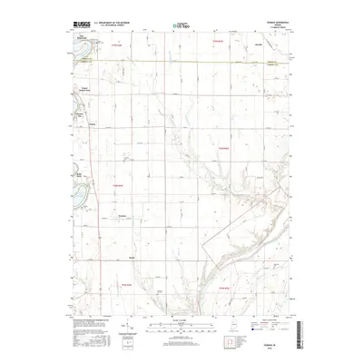
2016 Map of Yeoman
USGS Topo · Published 2016About this map
The Wabash River and Tippecanoe River define this Indiana landscape, tracing a path through the borderlands of White and Carroll Counties. Along the western edge, the impounded waters of Lake Freeman create a distinct shoreline character near Terrace Bay and Roth Park, a contrast to the agricultural grid that dominates the interior. The settlement of Yeoman sits at the heart of the township, while smaller locales like Sleeth and Patton dot the crossroads of a region deeply connected to its waterways and rural heritage.
Find a feature on this map
58 named features on this map. Tap any name to fly to it.
Don’t see what you’re looking for? This feature index may not catch every label — zoom into the map to look around manually.
Map Details
Editions of this 2016 Yeoman Map
This is the sole edition of this map. No revisions or reprints were ever made.
Other maps of this area

1953 · Danville
USGS Topo · 1:250,000

1955 · Danville
USGS Topo · 1:250,000

1956 · Danville
USGS Topo · 1:250,000

1962 · Flora
USGS Topo · 1:24,000

1962 · Burrows
USGS Topo · 1:24,000

1962 · Monticello South
USGS Topo · 1:24,000

1962 · Delphi
USGS Topo · 1:24,000

1962 · Burnettsville
USGS Topo · 1:24,000

1962 · Monticello North
USGS Topo · 1:24,000
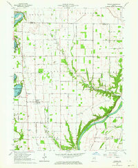
1962 · Yeoman
USGS Topo · 1:24,000