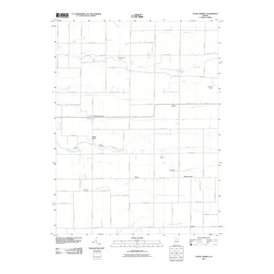
2010 Map of Young America
USGS Topo · Published 2010About this map
Young America serves as the primary hub of this North Central Indiana agricultural landscape, where the flat terrain is meticulously organized by a dense grid of county roads and drainage systems. This 2010 survey highlights the rural character of the area, featuring smaller communities like Poplar Grove, Kappa Corner, and Judson. The map is particularly valuable for genealogical research, documenting several family and local burial sites including Hoover-Snider Cemetery, Harness Cemetery, and the Mound Cemetery located near Little Deer Creek.
Find a feature on this map
68 named features on this map. Tap any name to fly to it.
Don’t see what you’re looking for? This feature index may not catch every label — zoom into the map to look around manually.
Map Details
Editions of this 2010 Young America Map
This is the sole edition of this map. No revisions or reprints were ever made.
Other maps of this area

1951 · Onward
USGS Topo · 1:24,000

1953 · Danville
USGS Topo · 1:250,000

1955 · Danville
USGS Topo · 1:250,000

1955 · Anoka
USGS Topo · 1:24,000

1956 · Danville
USGS Topo · 1:250,000

1959 · Galveston
USGS Topo · 1:24,000

1959 · Young America
USGS Topo · 1:24,000

1960 · Kokomo West
USGS Topo · 1:24,000

1961 · Russiaville
USGS Topo · 1:24,000

1961 · Burlington
USGS Topo · 1:24,000