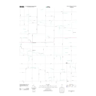
2013 Map of Young America
USGS Topo · Published 2013About this map
The unincorporated community of Young America serves as a central anchor for this northern Indiana landscape, where a sophisticated network of drainage ditches has long supported agricultural productivity. Named waterways like Mathias Young Ditch, Burchard Davison Ditch, and McKay Dredge Ditch illustrate the complex engineering required to manage the headwaters of Deer Cr and Little Deer Cr. These man-made channels often bear the names of early local landowners and families, providing a direct link for genealogists tracing ancestral property lines in this region.
Find a feature on this map
72 named features on this map. Tap any name to fly to it.
Don’t see what you’re looking for? This feature index may not catch every label — zoom into the map to look around manually.
Map Details
Editions of this 2013 Young America Map
This is the sole edition of this map. No revisions or reprints were ever made.
Other maps of this area

1951 · Onward
USGS Topo · 1:24,000

1953 · Danville
USGS Topo · 1:250,000

1955 · Danville
USGS Topo · 1:250,000

1955 · Anoka
USGS Topo · 1:24,000

1956 · Danville
USGS Topo · 1:250,000

1959 · Galveston
USGS Topo · 1:24,000

1959 · Young America
USGS Topo · 1:24,000

1960 · Kokomo West
USGS Topo · 1:24,000

1961 · Russiaville
USGS Topo · 1:24,000

1961 · Burlington
USGS Topo · 1:24,000