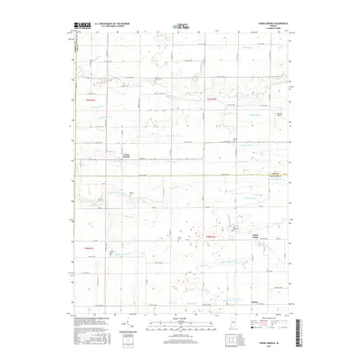
2016 Map of Young America
USGS Topo · Published 2016About this map
Young America serves as a central hub in this agricultural landscape near the border of Cass Co and Howard Co. The terrain is defined by a sophisticated drainage network essential for mid-century farming, featuring named channels such as McCloskey Ditch, Shankland Ditch, and Turley Ditch that feed into the prominent Deer Creek. The map is particularly valuable for genealogical research, identifying numerous family-named burial grounds across the townships, including the Hoover-Snider Cem, Harness Cem, and Pickett Cem. Smaller crossroads communities like Kappa Corner and Judson appear alongside local infrastructure such as the Galveston Airport, illustrating the evolution of transport and settlement in this rural Indiana corridor. The intricate grid of county roads and the density of named ditches reflect a landscape deeply modified for production.
Find a feature on this map
85 named features on this map. Tap any name to fly to it.
Don’t see what you’re looking for? This feature index may not catch every label — zoom into the map to look around manually.
Map Details
Editions of this 2016 Young America Map
This is the sole edition of this map. No revisions or reprints were ever made.
Other maps of this area

1951 · Onward
USGS Topo · 1:24,000

1953 · Danville
USGS Topo · 1:250,000

1955 · Danville
USGS Topo · 1:250,000

1955 · Anoka
USGS Topo · 1:24,000

1956 · Danville
USGS Topo · 1:250,000

1959 · Galveston
USGS Topo · 1:24,000

1959 · Young America
USGS Topo · 1:24,000

1960 · Kokomo West
USGS Topo · 1:24,000

1961 · Russiaville
USGS Topo · 1:24,000

1961 · Burlington
USGS Topo · 1:24,000