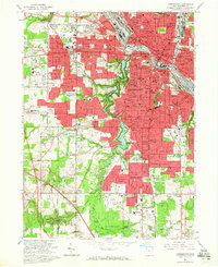
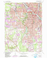
1963 Map of Youngstown
USGS Topo · Published 1965About this map
The industrial and institutional heart of Mahoning County is revealed in this early 1960s survey of Youngstown. The landscape is dominated by a dense urban grid, heavy rail infrastructure including the Erie-Lackawanna and Pennsylvania lines, and a proposed Lake Erie and Ohio River Canal. The city's geography is defined by the steep valleys of Mill Creek, where Mill Creek Park preserves a green corridor through neighborhoods like Fosterville and the South Side.
Find a feature on this map
107 named features on this map. Tap any name to fly to it.
Don’t see what you’re looking for? This feature index may not catch every label — zoom into the map to look around manually.
Map Details
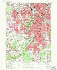
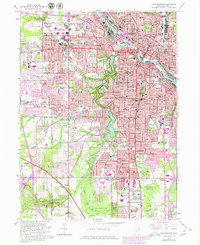
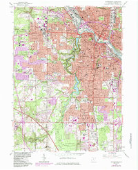
Editions of this 1963 Youngstown Map
5 editions found
Other maps of this area

1906 · Youngstown
USGS Topo · 1:62,500

1907 · Columbiana
USGS Topo · 1:62,500

1908 · Youngstown
USGS Topo · 1:62,500

1908 · Warren
USGS Topo · 1:62,500

1909 · Lisbon
USGS Topo · 1:62,500

1909 · Columbiana
USGS Topo · 1:62,500

1950 · Cleveland
USGS Topo · 1:250,000

1951 · Canton
USGS Topo · 1:250,000

1951 · Columbiana
USGS Topo · 1:24,000

1951 · Campbell
USGS Topo · 1:24,000