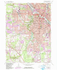
1963 Map of Youngstown
USGS Topo · Published 1984About this map
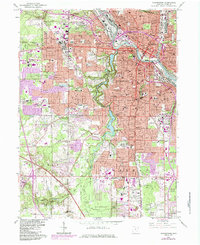
Mill Creek Park dominates the central landscape of this 1963 survey, following the winding course of Mill Creek through a series of reservoirs including Lake Glacier, Lake Cohasset, and Lake Newport. The map captures the industrial and urban density of Youngstown during the post-war era, with the heavy infrastructure of the Baltimore and Ohio and Conrail railroads lining the Mahoning River valley. Residential expansion is evident in the surrounding townships of Austintown, Boardman, and Canfield.
Find a feature on this map
101 named features on this map. Tap any name to fly to it.
Don’t see what you’re looking for? This feature index may not catch every label — zoom into the map to look around manually.
Map Details
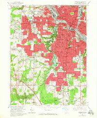
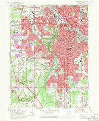
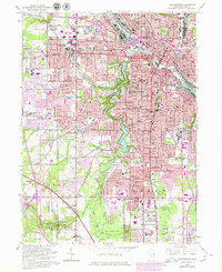
Editions of this 1963 Youngstown Map
5 editions found
Other maps of this area

1906 · Youngstown
USGS Topo · 1:62,500

1907 · Columbiana
USGS Topo · 1:62,500

1908 · Youngstown
USGS Topo · 1:62,500

1908 · Warren
USGS Topo · 1:62,500

1909 · Lisbon
USGS Topo · 1:62,500

1909 · Columbiana
USGS Topo · 1:62,500

1950 · Cleveland
USGS Topo · 1:250,000

1951 · Canton
USGS Topo · 1:250,000

1951 · Columbiana
USGS Topo · 1:24,000

1951 · Campbell
USGS Topo · 1:24,000