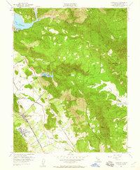
1951 Map of Yountville
USGS Topo · Published 1960About this map
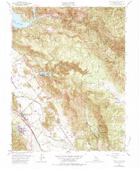
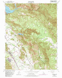
Yountville serves as the focal point of this mid-century survey, surrounded by the agricultural and institutional landscape of the central Napa Valley. The presence of the State Veterans Home and the Napa State Farm highlights the region's historical role in public service and state-run agriculture. To the east, the terrain rises sharply toward the iconic Stags Leap and Atlas Peak, where the rugged topography is punctuated by water infrastructure like the Lake Hennessey and Rector Reservoir.
Find a feature on this map
38 named features on this map. Tap any name to fly to it.
Don’t see what you’re looking for? This feature index may not catch every label — zoom into the map to look around manually.
Map Details
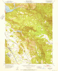
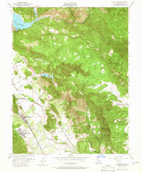
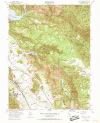
Editions of this 1951 Yountville Map
6 editions found
Other maps of this area

1902 · Napa
USGS Topo · 1:125,000

1921 · Mt. Vaca
USGS Topo · 1:62,500

1924 · Capay
USGS Topo · 1:62,500

1942 · Sonoma
USGS Topo · 1:62,500

1942 · Mt. Vaca
USGS Topo · 1:62,500

1942 · St. Helena
USGS Topo · 1:62,500

1943 · Capay
USGS Topo · 1:62,500

1945 · Capay
USGS Topo · 1:62,500

1945 · St. Helena
USGS Topo · 1:62,500

1947 · Santa Rosa
USGS Topo · 1:250,000