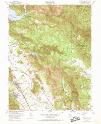
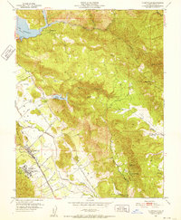
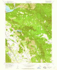
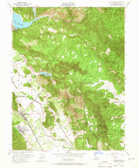
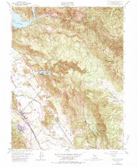
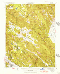
1951 Map of Yountville
USGS Topo · Published 1969About this map
Yountville and the surrounding Napa Valley floor are documented here during a period of transition, showing the agricultural and institutional foundations of the region before the modern viticultural boom. The Napa River meanders through the valley, flanked by the historic Silverado Trail and the Southern Pacific railroad line. Significant local landmarks include the sprawling State Veterans Home and the State Game Farm, reflecting the area's long-standing role in public service and resource management.
Find a feature on this map
46 named features on this map. Tap any name to fly to it.
Don’t see what you’re looking for? This feature index may not catch every label — zoom into the map to look around manually.
Map Details
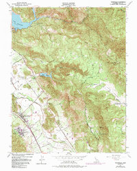
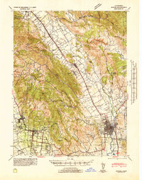
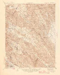
Editions of this 1951 Yountville Map
6 editions found
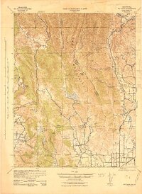
Other maps of this area

1902 · Napa
USGS Topo · 1:125,000

1921 · Mt. Vaca
USGS Topo · 1:62,500

1924 · Capay
USGS Topo · 1:62,500
1942 · Sonoma
USGS Topo · 1:62,500
1942 · Mt. Vaca
USGS Topo · 1:62,500
1942 · St. Helena
USGS Topo · 1:62,500

1943 · Capay
USGS Topo · 1:62,500

1945 · Capay
USGS Topo · 1:62,500
1945 · St. Helena
USGS Topo · 1:62,500

1947 · Santa Rosa
USGS Topo · 1:250,000