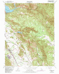
1951 Map of Yountville
USGS Topo · Published 1991About this map
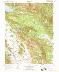
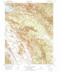
The Napa River corridor near Yountville reveals a landscape defined by institutional development and natural resource management in the mid-20th century. The town is flanked by the expansive State Veterans Home and the Napa State Farm, reflecting the region's historical role in state-run agriculture and social services. Transportation follows the valley floor along the Southern Pacific tracks and the storied Silverado Trail, while the surrounding heights are marked by significant water infrastructure, including Lake Hennessey and Rector Reservoir. To the east, the terrain rises sharply toward Atlas Peak and the prominent volcanic outcrops of Stags Leap, overlooking the high pastoral ground of Foss Valley. The map also identifies the site of the former Napa Soda Springs resort, providing a clear view of the area's development before it became the heart of the modern wine industry.
Find a feature on this map
32 named features on this map. Tap any name to fly to it.
Don’t see what you’re looking for? This feature index may not catch every label — zoom into the map to look around manually.
Map Details
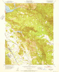
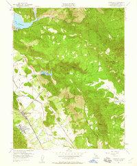
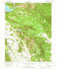
Editions of this 1951 Yountville Map
6 editions found
Other maps of this area

1902 · Napa
USGS Topo · 1:125,000

1921 · Mt. Vaca
USGS Topo · 1:62,500

1924 · Capay
USGS Topo · 1:62,500

1942 · Sonoma
USGS Topo · 1:62,500

1942 · Mt. Vaca
USGS Topo · 1:62,500

1942 · St. Helena
USGS Topo · 1:62,500

1943 · Capay
USGS Topo · 1:62,500

1945 · Capay
USGS Topo · 1:62,500

1945 · St. Helena
USGS Topo · 1:62,500

1947 · Santa Rosa
USGS Topo · 1:250,000