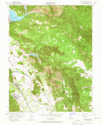
1951 Map of Yountville
USGS Topo · Published 1966About this map
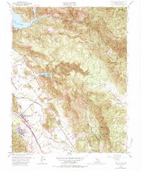
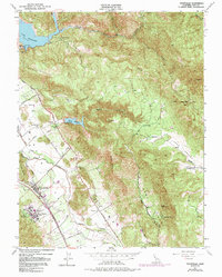
Yountville and the surrounding Napa Valley are depicted here during a period of agricultural and institutional prominence in the early 1950s. The western valley floor is dominated by significant public facilities, including the State Veterans Home, the Napa State Farm, and the State Game Farm. These institutional lands are set against a backdrop of complex water infrastructure, evidenced by the recently constructed Lake Hennessey and its Conn Dam, as well as the Rector Reservoir tucked into the canyons. The Southern Pacific railroad and the Silverado Trail provide the primary transport corridors through the vineyard-rich landscape. To the east, the terrain rises sharply into the Vaca Mountains, where labels like Stags Leap and Atlas Peak identify the prominent geological features. Local heritage is captured in named locations such as Napa Soda Springs and the Circle S Ranch, reflecting the region's long history of ranching and resort development.
Find a feature on this map
43 named features on this map. Tap any name to fly to it.
Don’t see what you’re looking for? This feature index may not catch every label — zoom into the map to look around manually.
Map Details
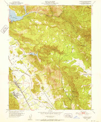
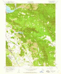
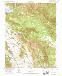
Editions of this 1951 Yountville Map
6 editions found
Other maps of this area

1902 · Napa
USGS Topo · 1:125,000

1921 · Mt. Vaca
USGS Topo · 1:62,500

1924 · Capay
USGS Topo · 1:62,500

1942 · Sonoma
USGS Topo · 1:62,500

1942 · Mt. Vaca
USGS Topo · 1:62,500

1942 · St. Helena
USGS Topo · 1:62,500

1943 · Capay
USGS Topo · 1:62,500

1945 · Capay
USGS Topo · 1:62,500

1945 · St. Helena
USGS Topo · 1:62,500

1947 · Santa Rosa
USGS Topo · 1:250,000