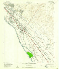
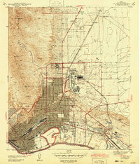
1955 Map of Ysleta
USGS Topo · Published 1959About this map
The Rio Grande defines the international boundary between the United States and Mexico in this mid-1950s survey of the lower El Paso valley. The landscape is a complex network of irrigation and drainage infrastructure, with the Franklin Canal and Riverside Canal supporting the agricultural life of the region. Significant cultural and religious centers are concentrated near the historic settlements of Ysleta and Socorro, including the Ysleta Jesuit College and the La Purisima Ch.
Find a feature on this map
56 named features on this map. Tap any name to fly to it.
Don’t see what you’re looking for? This feature index may not catch every label — zoom into the map to look around manually.
Map Details
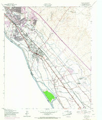
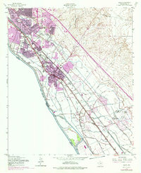
Editions of this 1955 Ysleta Map
3 editions found
Other maps of this area
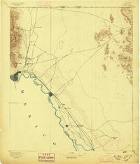
1896 · El Paso
USGS Topo · 1:125,000
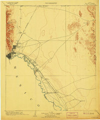
1908 · El Paso
USGS Topo · 1:125,000
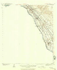
1939 · Ysleta
USGS Topo · 1:62,500
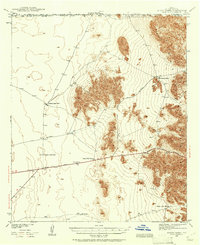
1939 · Heuco Tanks
USGS Topo · 1:62,500
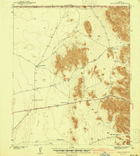
1940 · Heuco Tanks
USGS Topo · 1:62,500
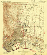
1941 · El Paso
USGS Topo · 1:31,680
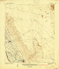
1941 · Clint
USGS Topo · 1:62,500
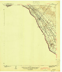
1941 · Ysleta
USGS Topo · 1:62,500
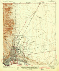
1942 · Fort Bliss
USGS Topo · 1:62,500
1943 · El Paso
USGS Topo · 1:31,680