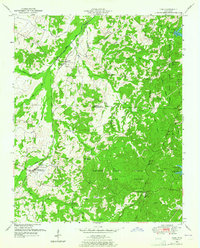
1950 Map of Yuma
USGS Topo · Published 1965About this map
Natchez Trace State Park and Forest dominates the eastern half of this terrain, where the historic Natchez Trace route winds through dense woodlands. The landscape is defined by a network of drainage canals and small branches, including the Big Sandy River Canal and Bacon Drainage Canal, which supported local agriculture and land management in the mid-20th century. The Nashville and Chattanooga line provides a vital transportation corridor through the settlements of Yuma and Wildersville, connecting these rural communities to the broader regional economy.
Find a feature on this map
80 named features on this map. Tap any name to fly to it.
Don’t see what you’re looking for? This feature index may not catch every label — zoom into the map to look around manually.
Map Details
Editions of this 1950 Yuma Map
3 editions found
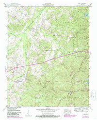
Other maps of this area

1936 · Clarksburg
USGS Topo · 1:24,000

1936 · Lexington
USGS Topo · 1:24,000

1936 · Yuma
USGS Topo · 1:24,000

1936 · Parsons
USGS Topo · 1:24,000

1936 · Seventeen Creek
USGS Topo · 1:24,000

1936 · Center Ridge
USGS Topo · 1:24,000

1936 · Cavvia
USGS Topo · 1:24,000

1936 · Buena Vista
USGS Topo · 1:24,000

1936 · Chesterfield
USGS Topo · 1:24,000

1950 · Yuma
USGS Topo · 1:24,000